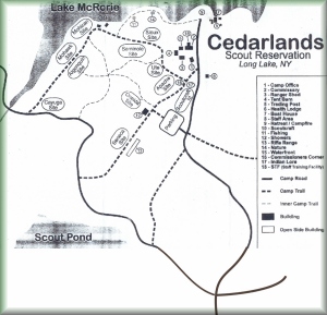
Again, it may be handy to reference a map of the base camp area to help understand many of these photos. |
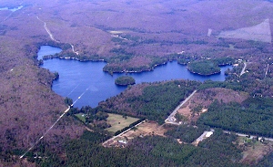
To help calibrate what you see in the rest of the photos, the above is an image of White Lake and Camp Russell. In this photo, North is to the left, and you can see the bend in the road as Rt. 28 comes in from the right and makes that nasty right hand turn. |
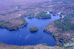
Here's another shot of Russell.
Notice the level of foliage and tree cover.
Kinda nice, right? |
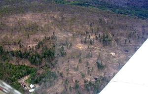
Now, compare that to what Base Camp at Cedarlands now looks like. The main buildings are on the left, and the new building by the original parking lot are on the right. |
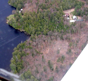
Here's a different view of the logging, showing what I believe are the Souix and Seminole sites to the West of the camp office area. |
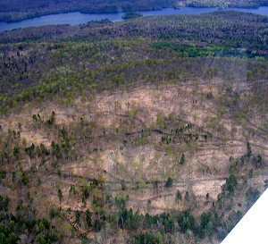
Here's a view looking East, with Long Lake in the background. You can very clearly get an impression of before and after, and the gouges left by the skidders. |
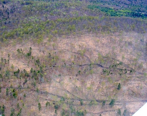
Same thing. Technically, it's not been clear cut, because they did leave a few trees standing.
See...
you can count them. |
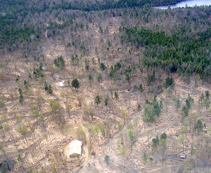
This view is looking to the North West, towards the Oneida site. The building in the foreground is what I believe will be the new Commisary, and just behind it is the shower house. |
The picture on the right is the rock face for Mt. Masters. I included it here mainly because it was really cool to fly around like this.
|
 |
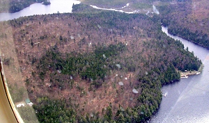
Here's a panorama looking South West, with the waterfront area on the right side. Notice that the edge near the water was left as-is, but anything inland was mostly gutted. |
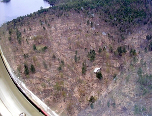
|
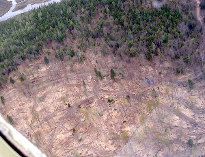
At least kids won't get lost in the woods anymore, with all these handy skid trails to follow! That's the shower house in the bottom center, with the view looking North West. |
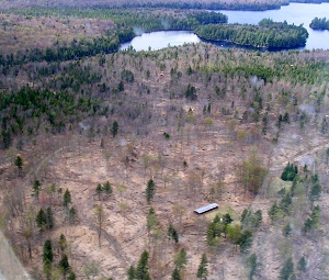
Depressed enough yet? That's the building for the rifle range, with the view looking North over the Seneca site. |
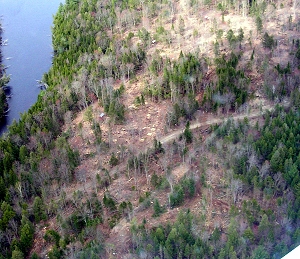
Facing North, looking down on the Cayuga site, with Algonquin in the upper right. |
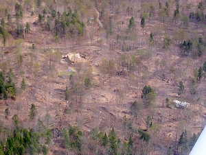
Facing South, with the shower house on the right and the new building by the old parking lot on the left. |
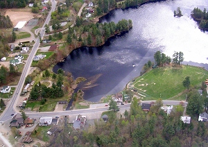
No visit to Cedarlands is complete without a visit to Hoss's, visible here in the lower left as we face South. I'd have stopped by to pick up some beef jerky if the road was wider for a landing. |
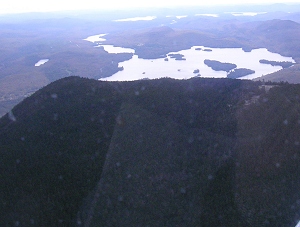
And (just because we could) we departed the area by flying up over Blue Mountain, with Blue Mountain Lake in the background. |
Thoughts? Reactions? Insightful comments?
Share them with us. - Visit the forum.
|