| Day 2 began with us waking up to the sound of
sheep outside our window. After a nice breakfast and saying good bye
to Richard (the caretaker) we began our hike. He passed us as we began
walking. he was bringing our luggage to the next B&B. I asked
him how far the drive was, and he said it was quite a way... nearly 20 km
(roughly 12.5 miles)
That's one of the main differences between the US and most of Europe.
They think 100 miles is a really long distance, and we think 100 years is
a really long time. | 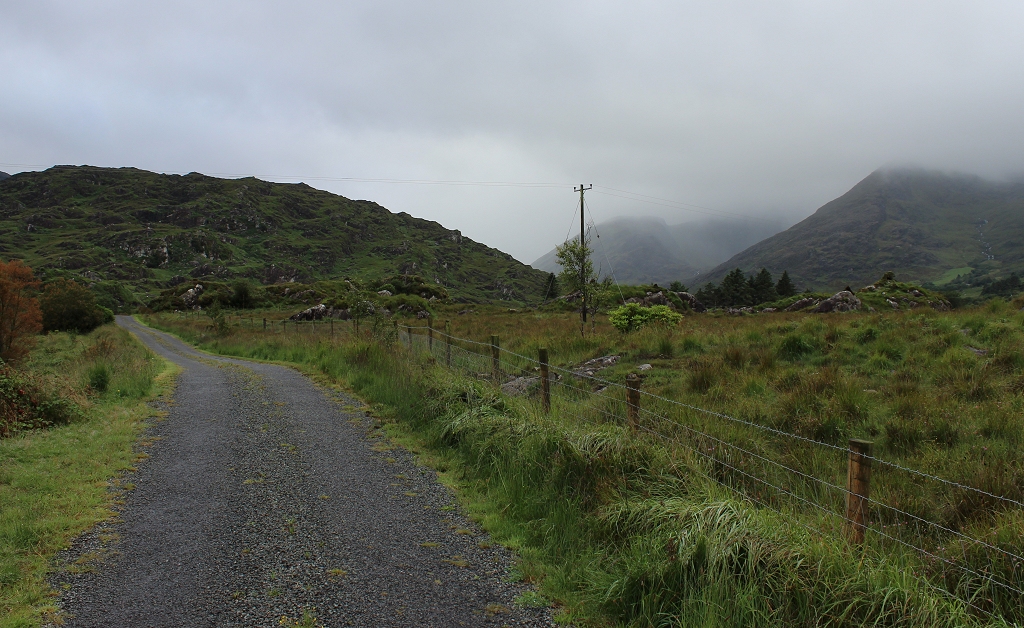 |
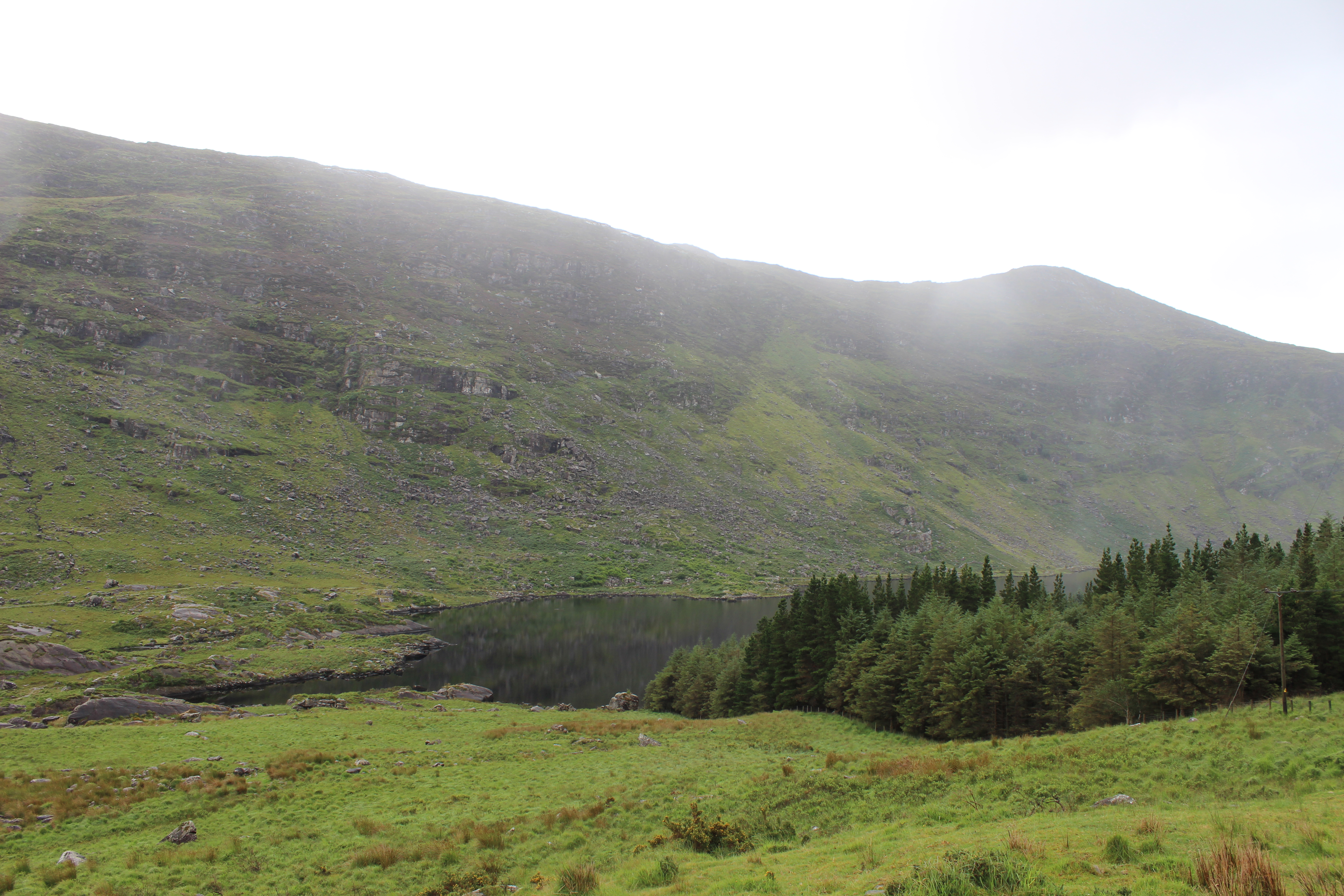
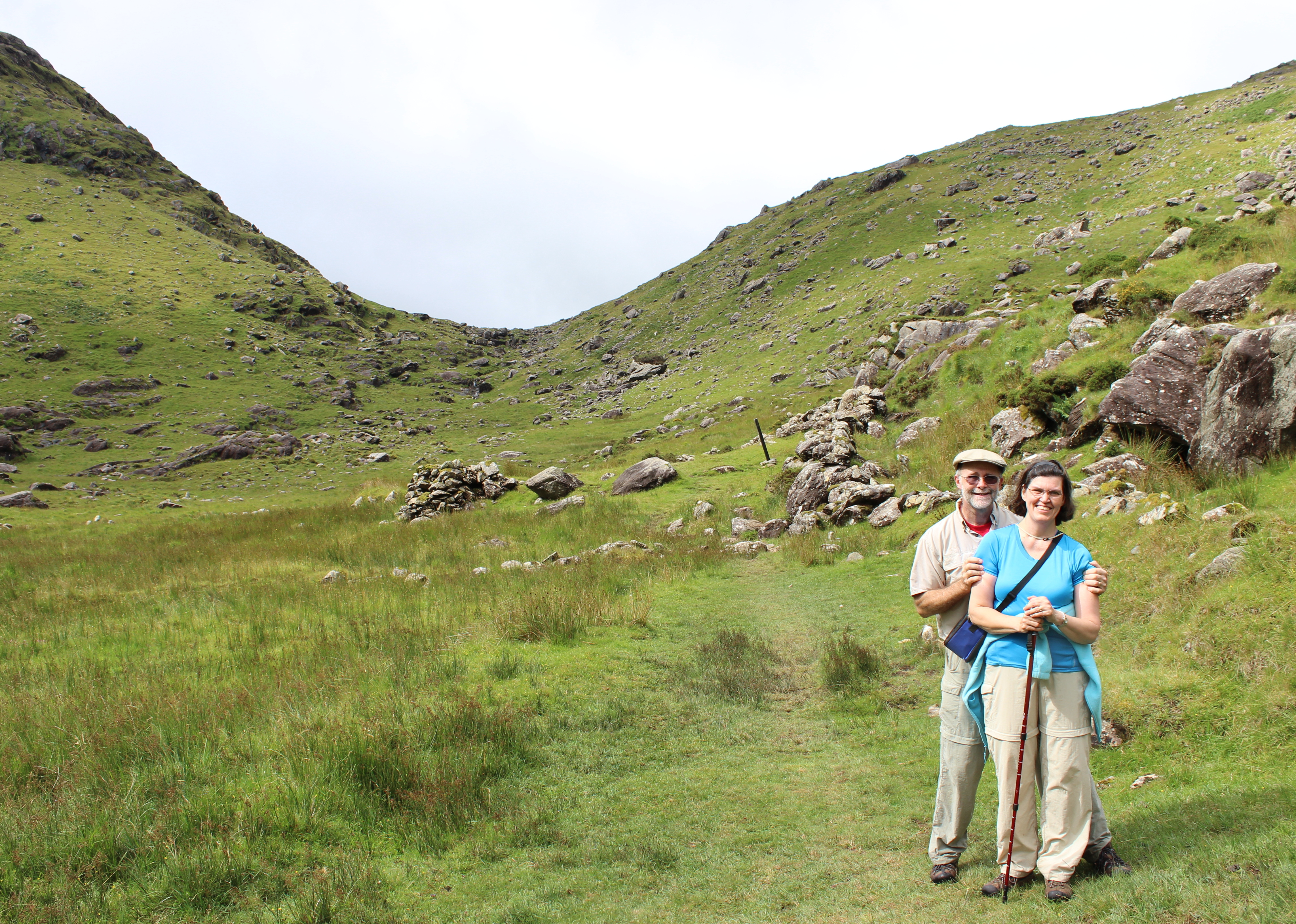
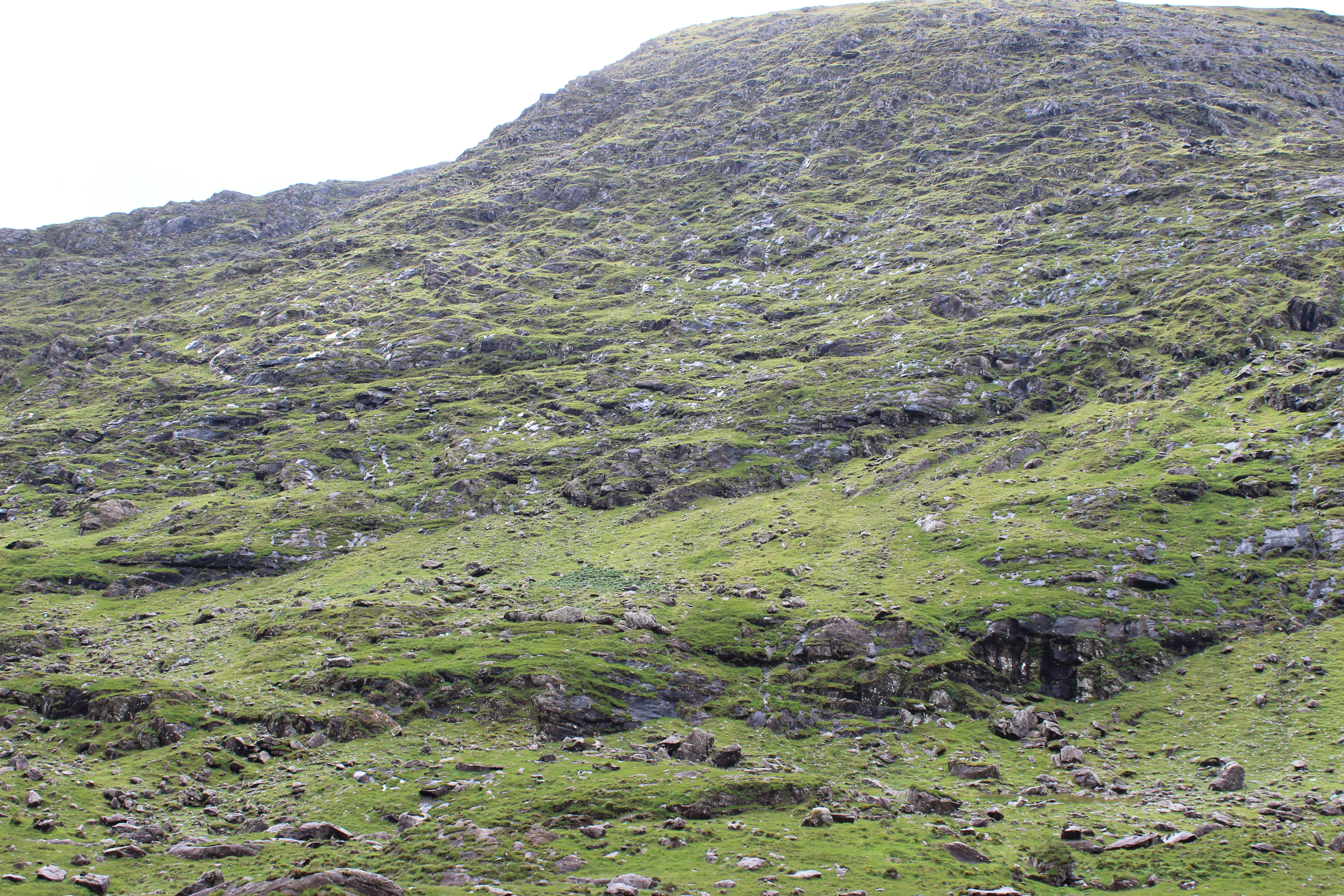
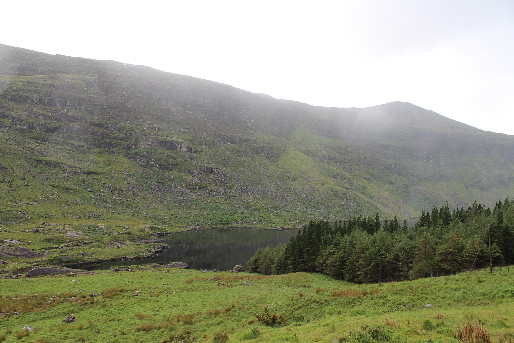
| Check out the mountains. Not at all friendly
for settlers or farmers.
Sheep don't seem to mind though. | 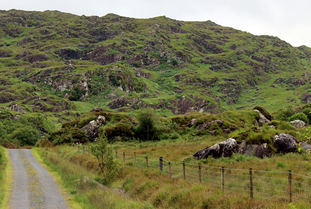 |
| The weather was basically the same as the day
prior... cool, misty, overcast. And, in light of the work ahead of us, we
were just as pleased. | 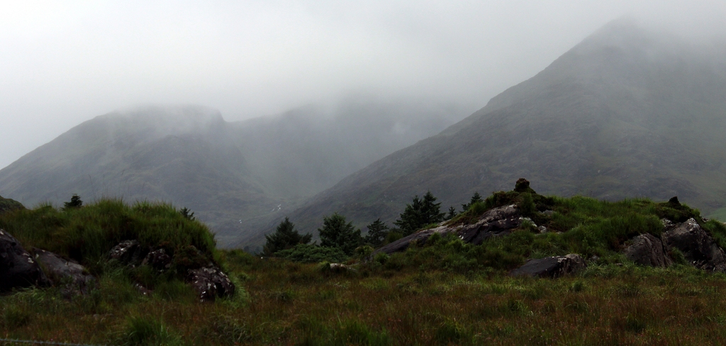 |
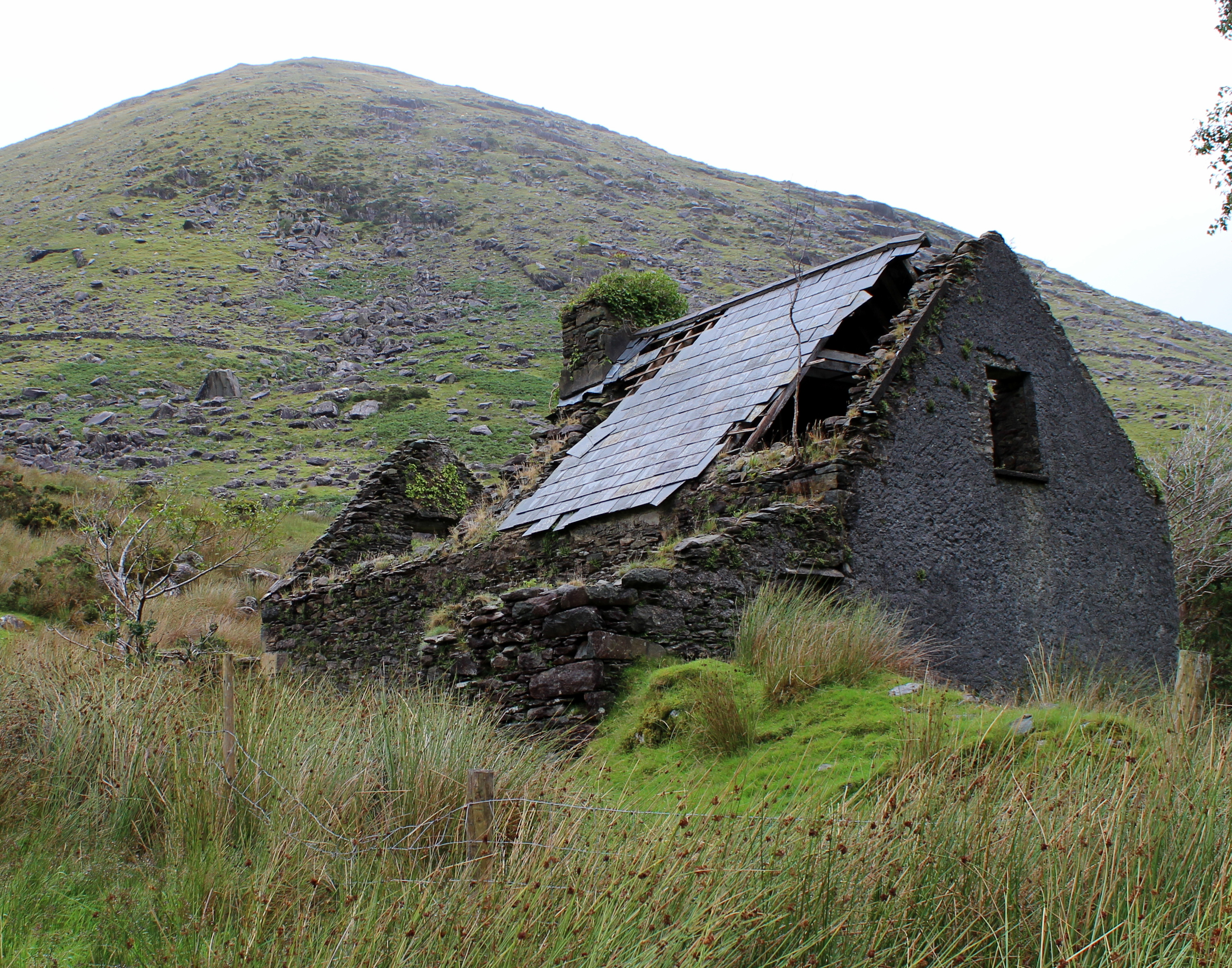
| What a cool place to have a house. I could
retire there.
A fireplace, some wine, and lots and lots of books. | 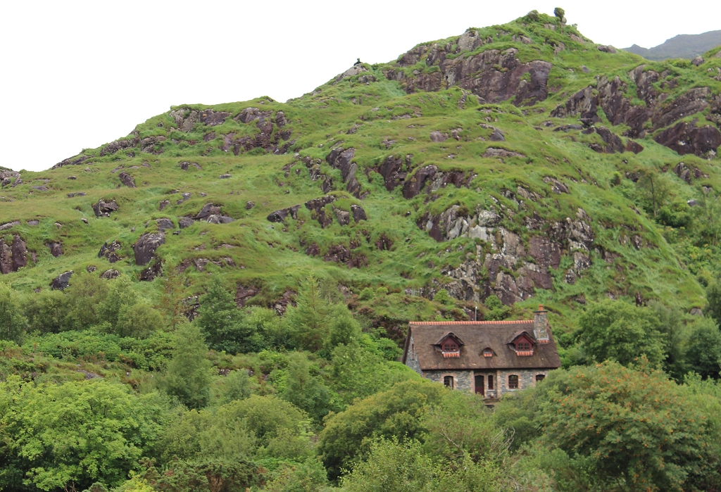 |
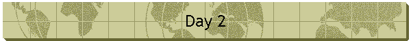
| Our first and only rainbow. | 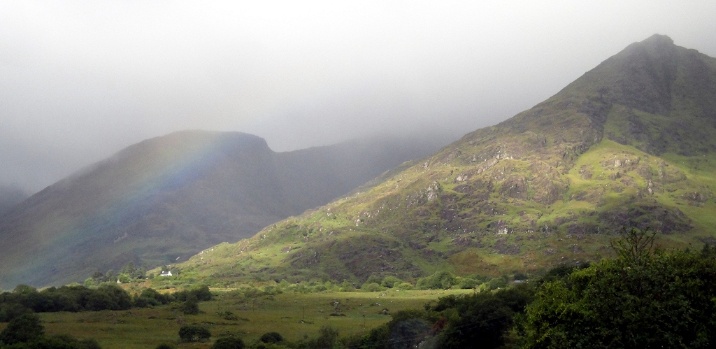 |
| And then we meet sheep. On the road.
With us.
How cool is that? | 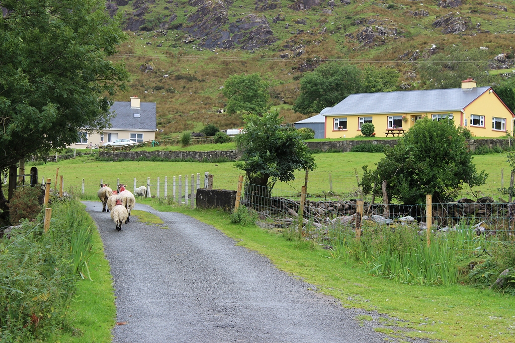 |
| I don't know why this amused us as much as it
did. | 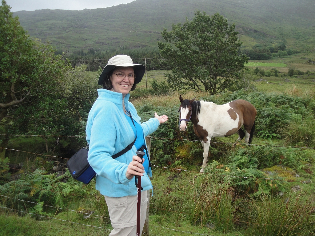 |
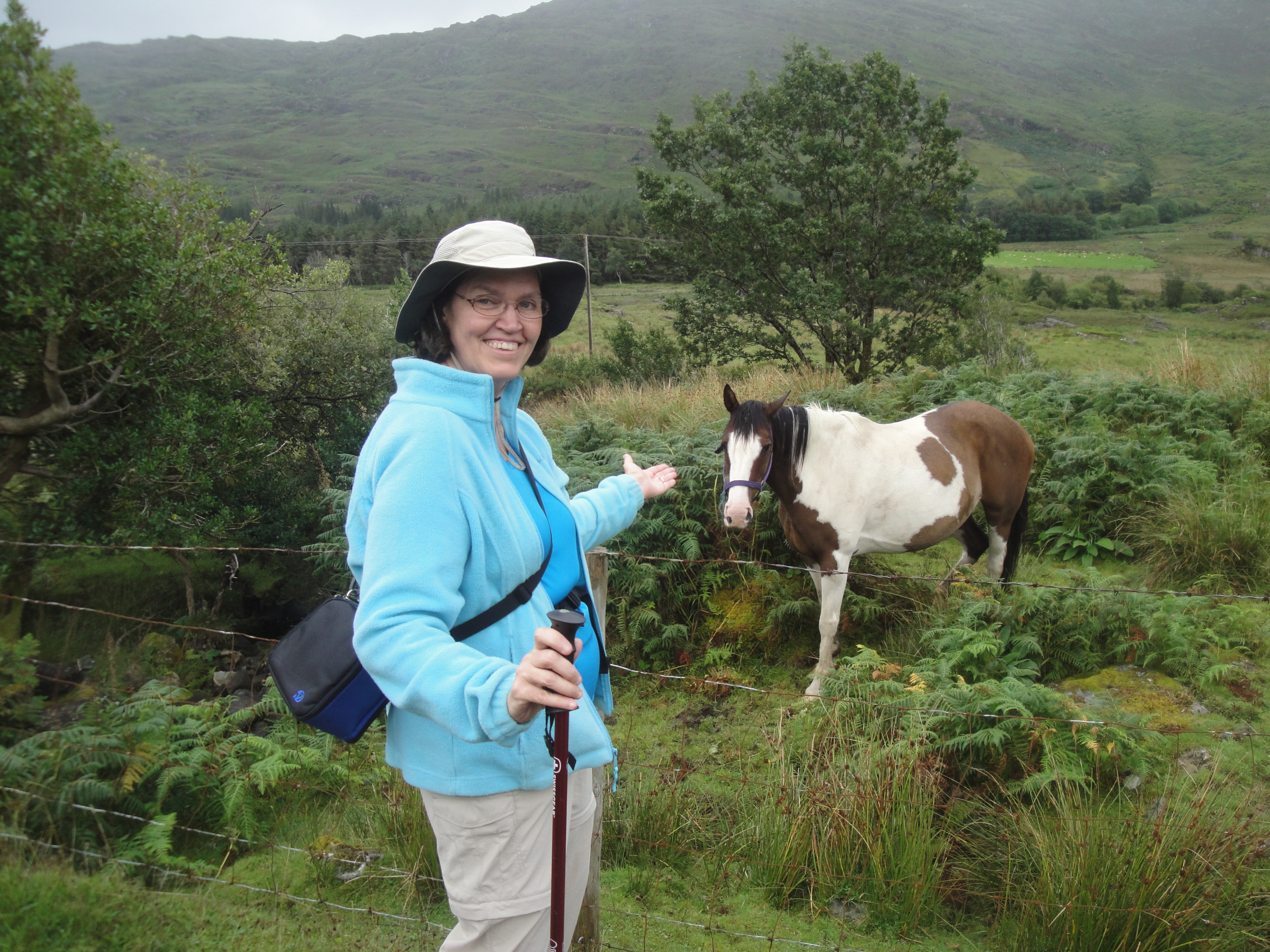
| Up until now on today's journey, we'd been on a
simple one-lane country road (never once seeing a car). Here we begin down
a path that lead to a farmer's gate behind his barn, where we start to get a
real feel for what the next few days would be like. |  |
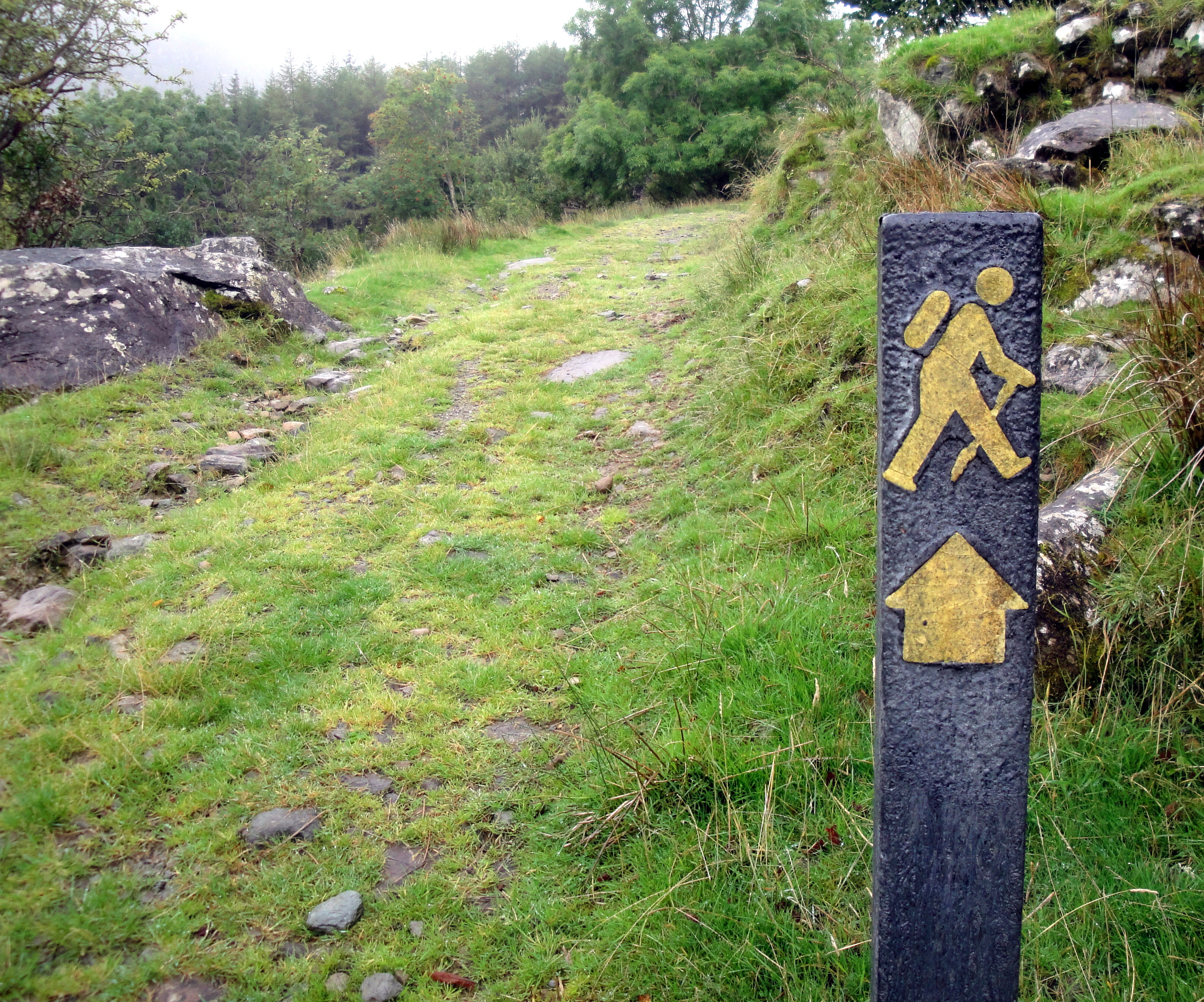
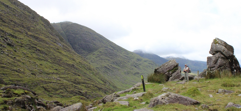
| These markers proved invaluable for
the next several days. Sometimes they'd be every few dozen yards.
Sometimes they'd be spaced a couple miles apart. |  |
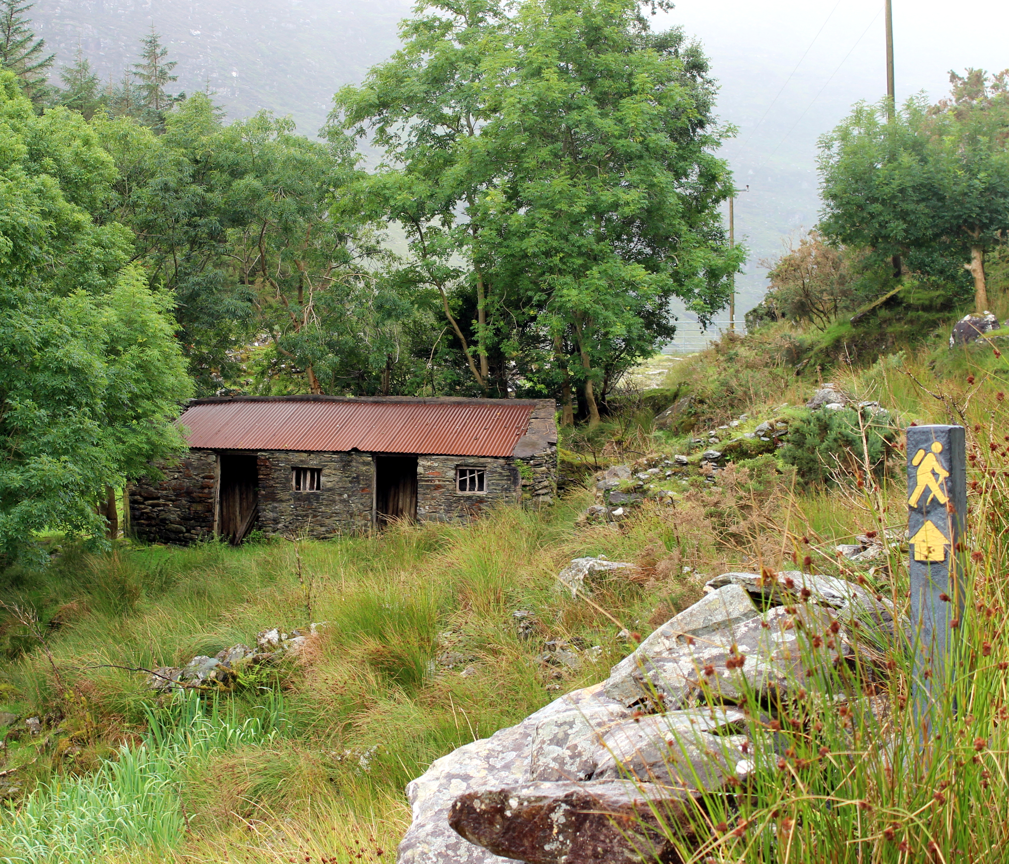
| There has to be an backstory to every one of the
many buildings we passed. It makes you think. |  |
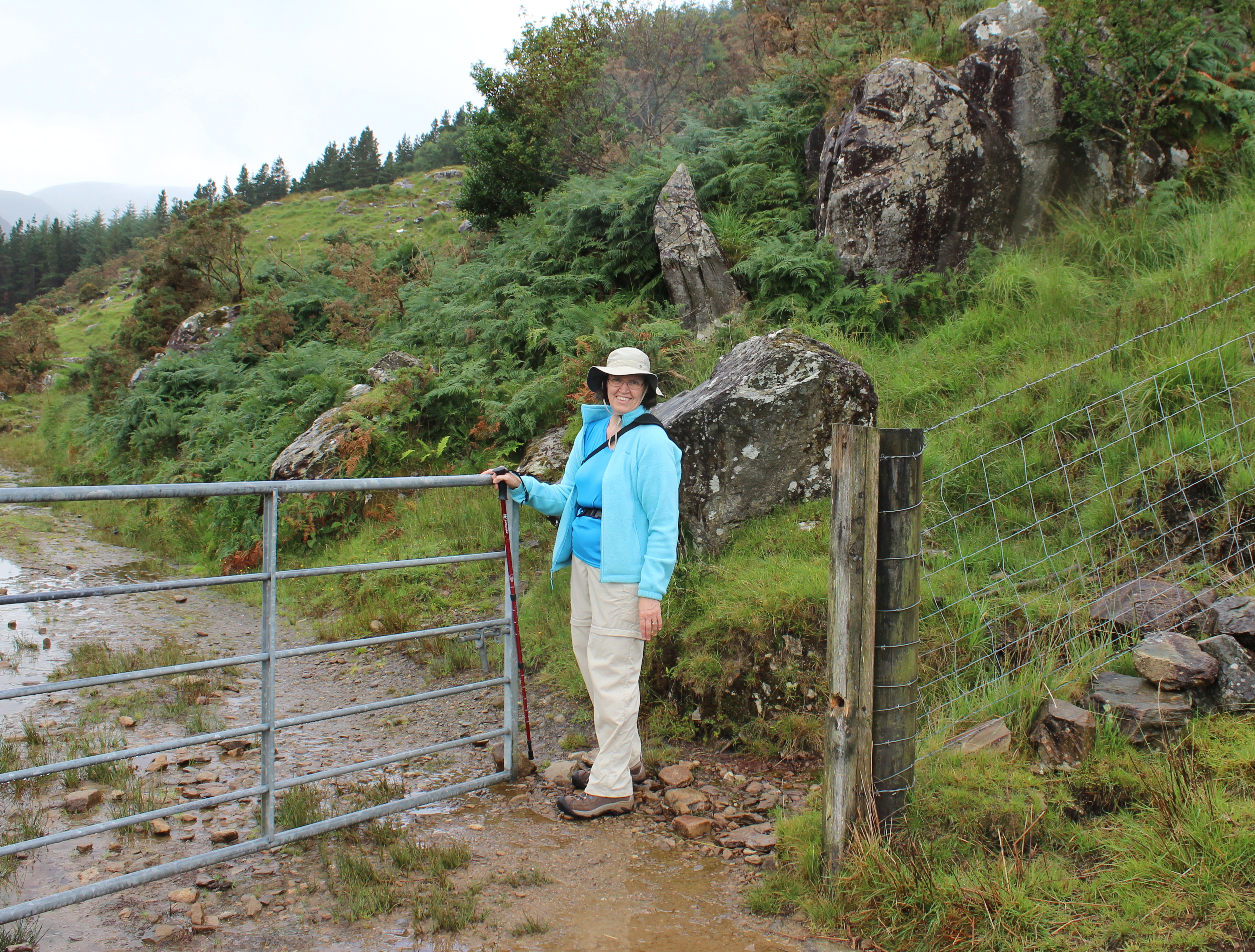
| We must have gone through 20-30 gates like this
in the next few days. We lost count. The general rule was, leave it as you
found it.
If it was open, leave it open.
If it was closed, close it when you pass through. |  |
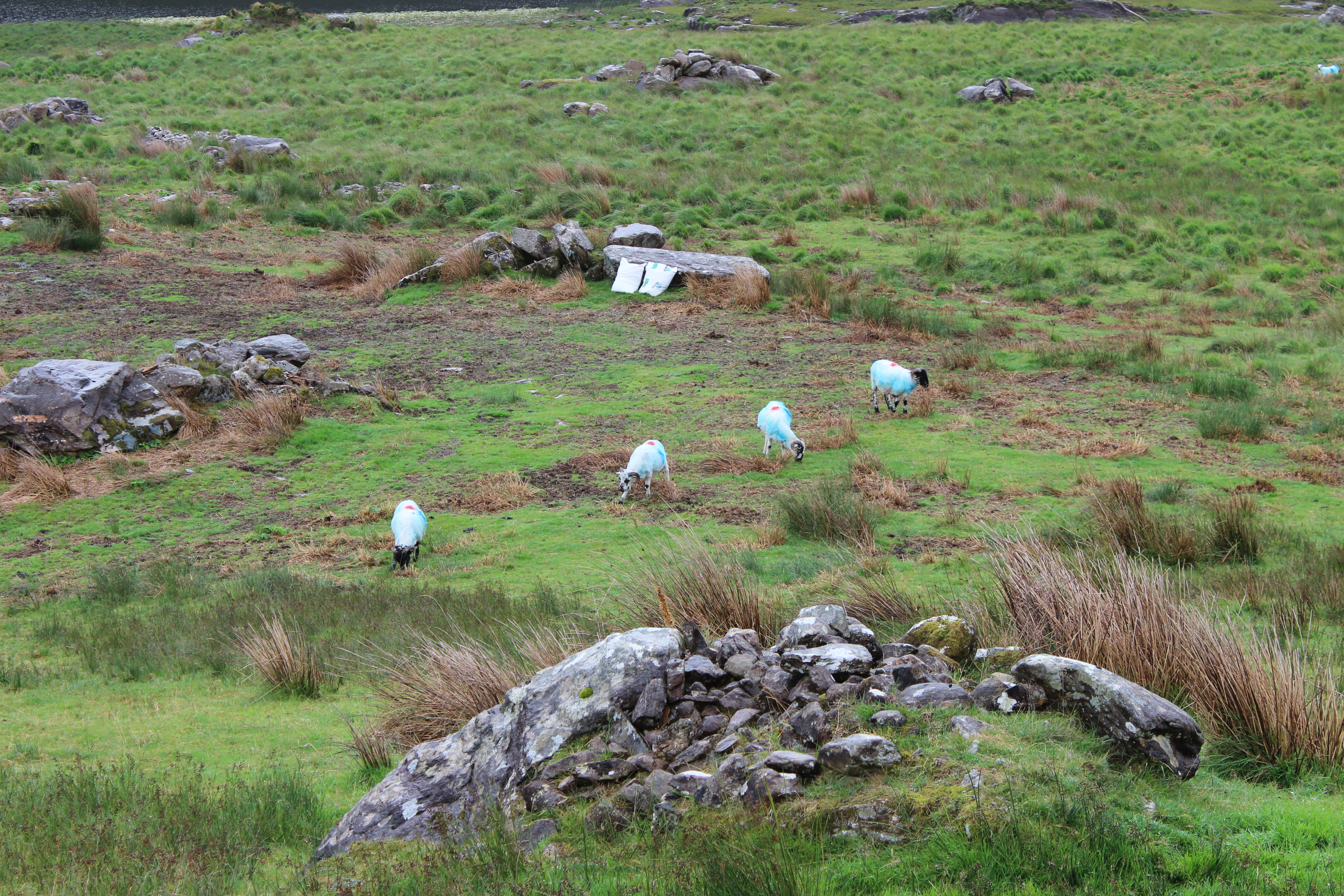
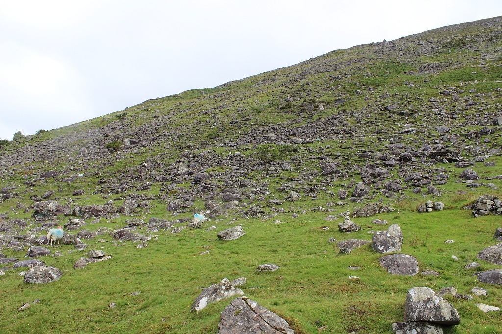
| It looks like these guys lost big-time in a game
of paintball. It turns out this is how each farmer marks his flock, with a
pre-determined set of colors. |  |
|  |
|  |
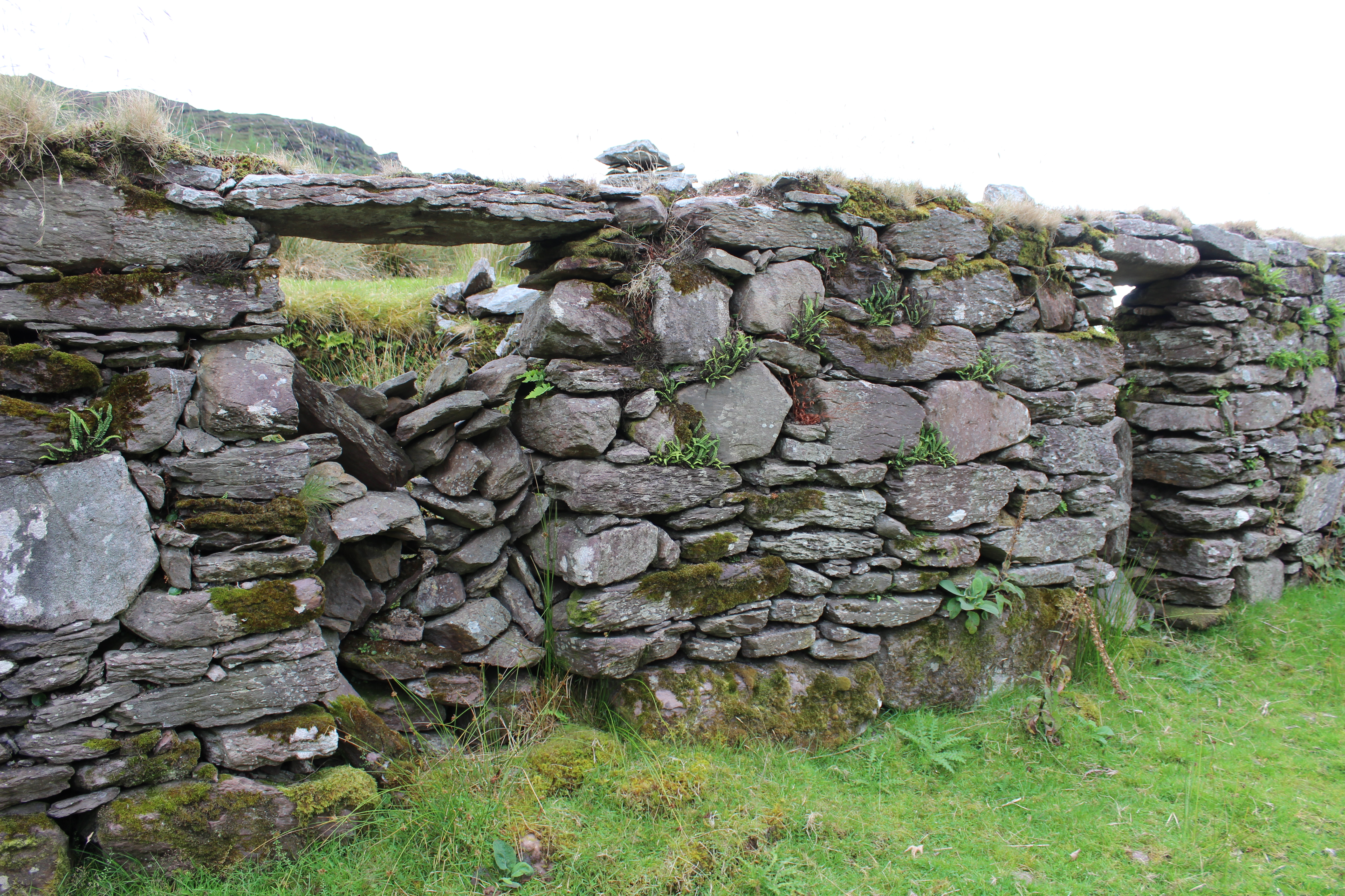
| This is a "stile". We saw it mentioned in the
printed directions we were given for the trip, and wondered to ourselves...
"what's a stile?"
We must have gone over 30 or more of these as we passed from one farmer's
land to another's. | 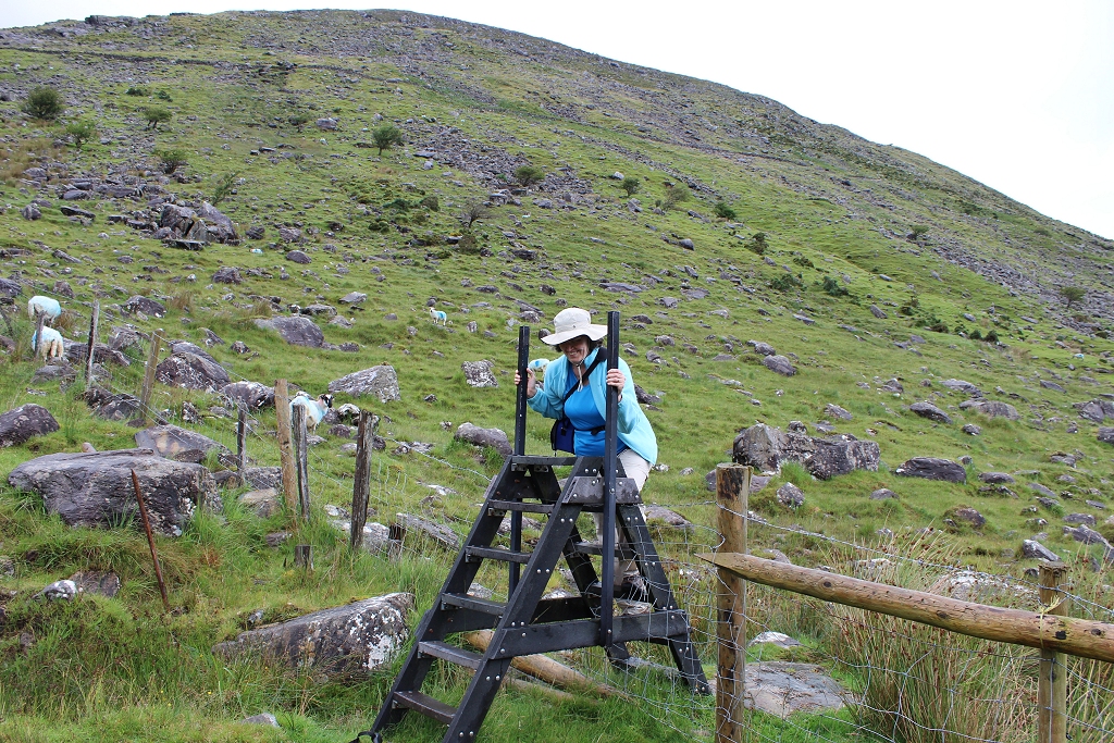 |
| There's a beauty and a sadness to every one of
these (and we passed many). The potato famine in the 1850's just destroyed
the country. | 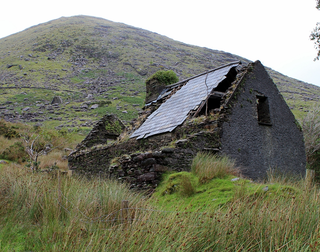 |
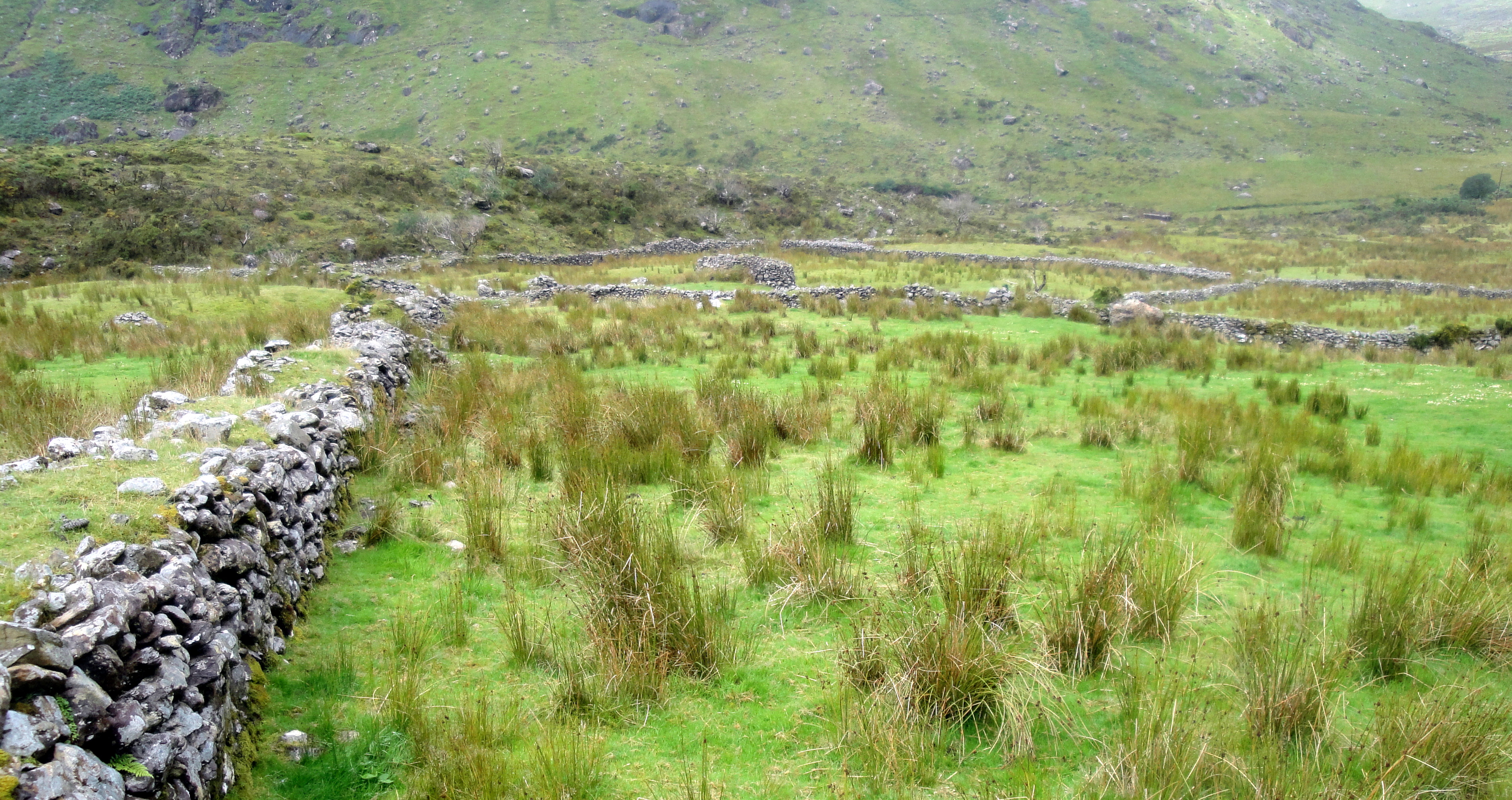
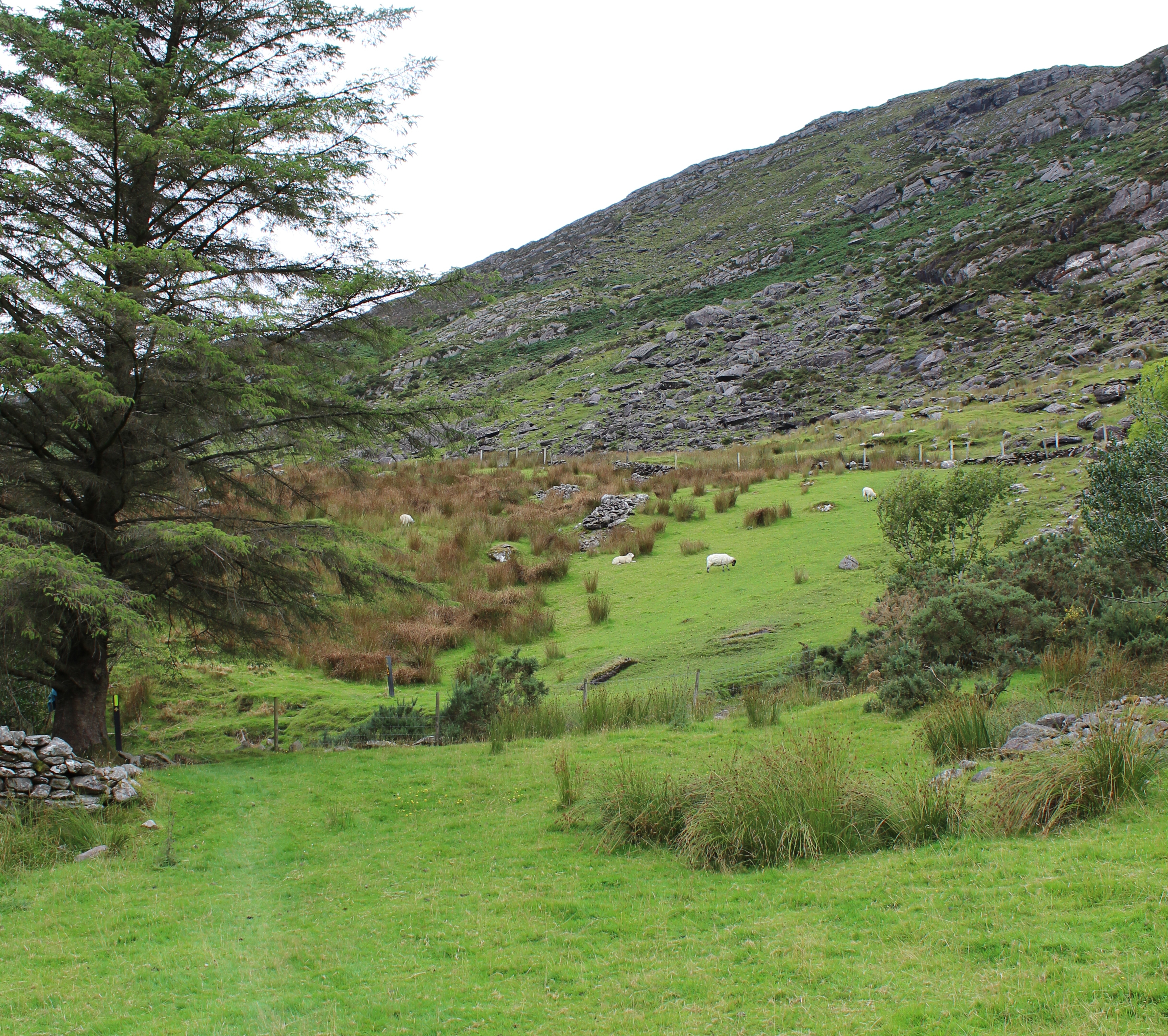
| Check out the stone fences... miles and miles of
them, all built by hand and animal. No machinery more sophisticated
than the wheelbarrow or mule drawn cart. Think of how many man-hours went
into the building of this.
They were everywhere! |  |
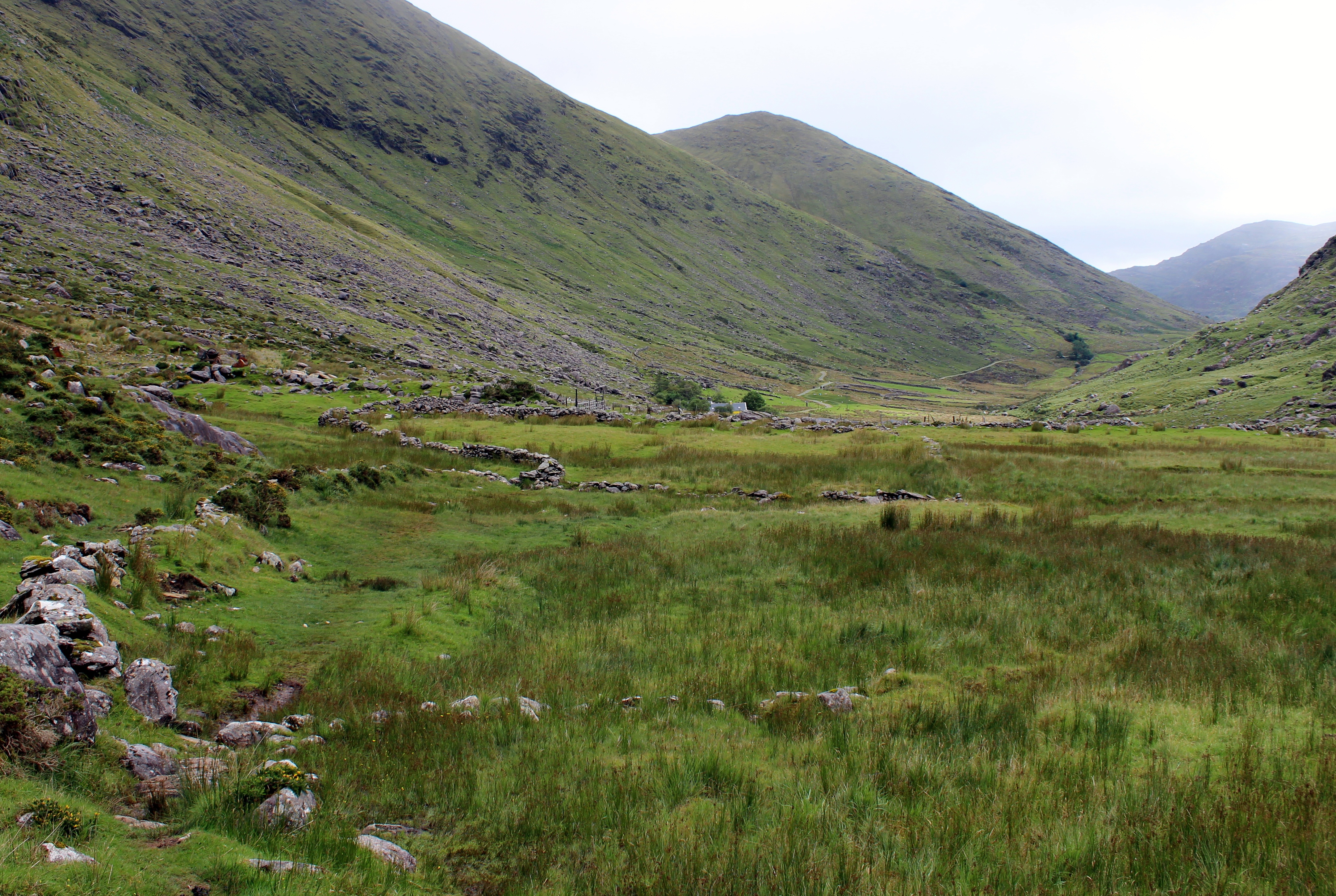
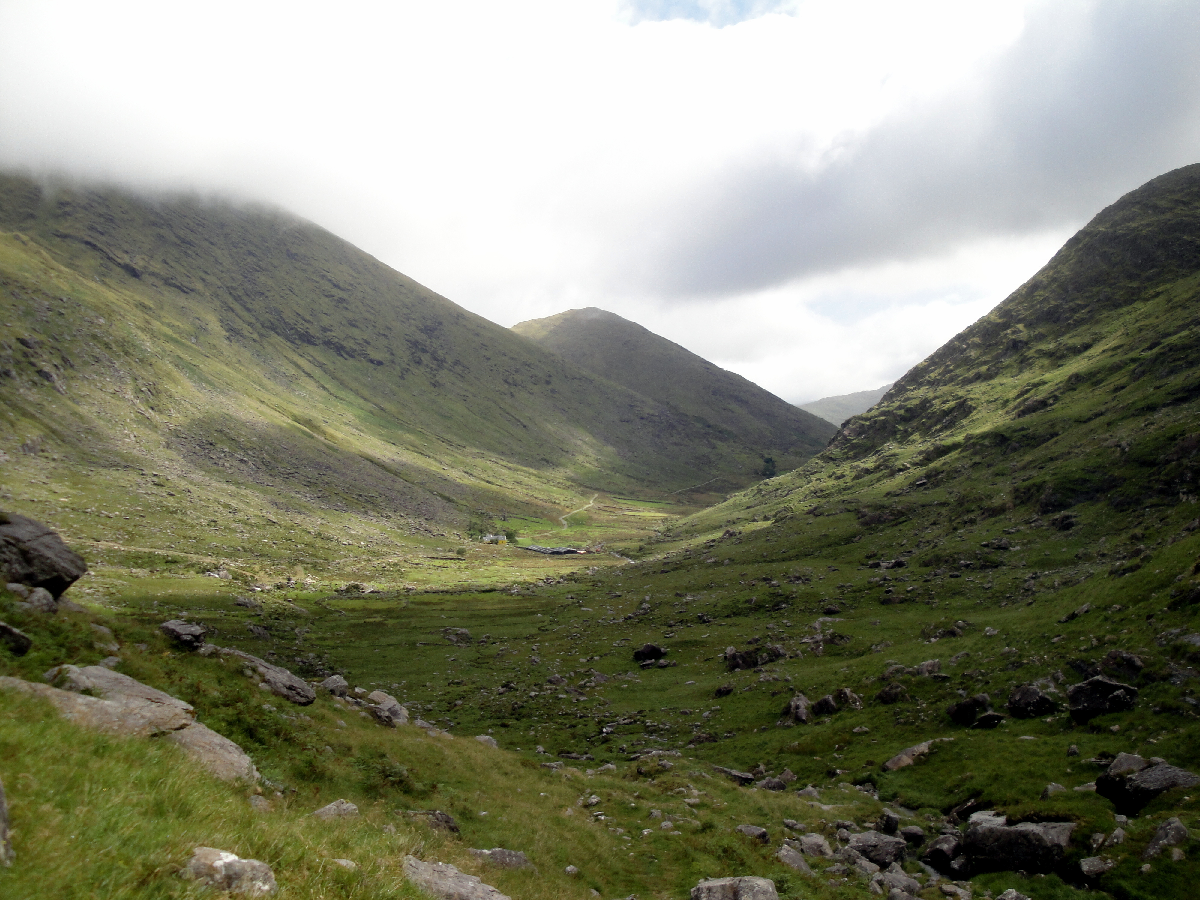
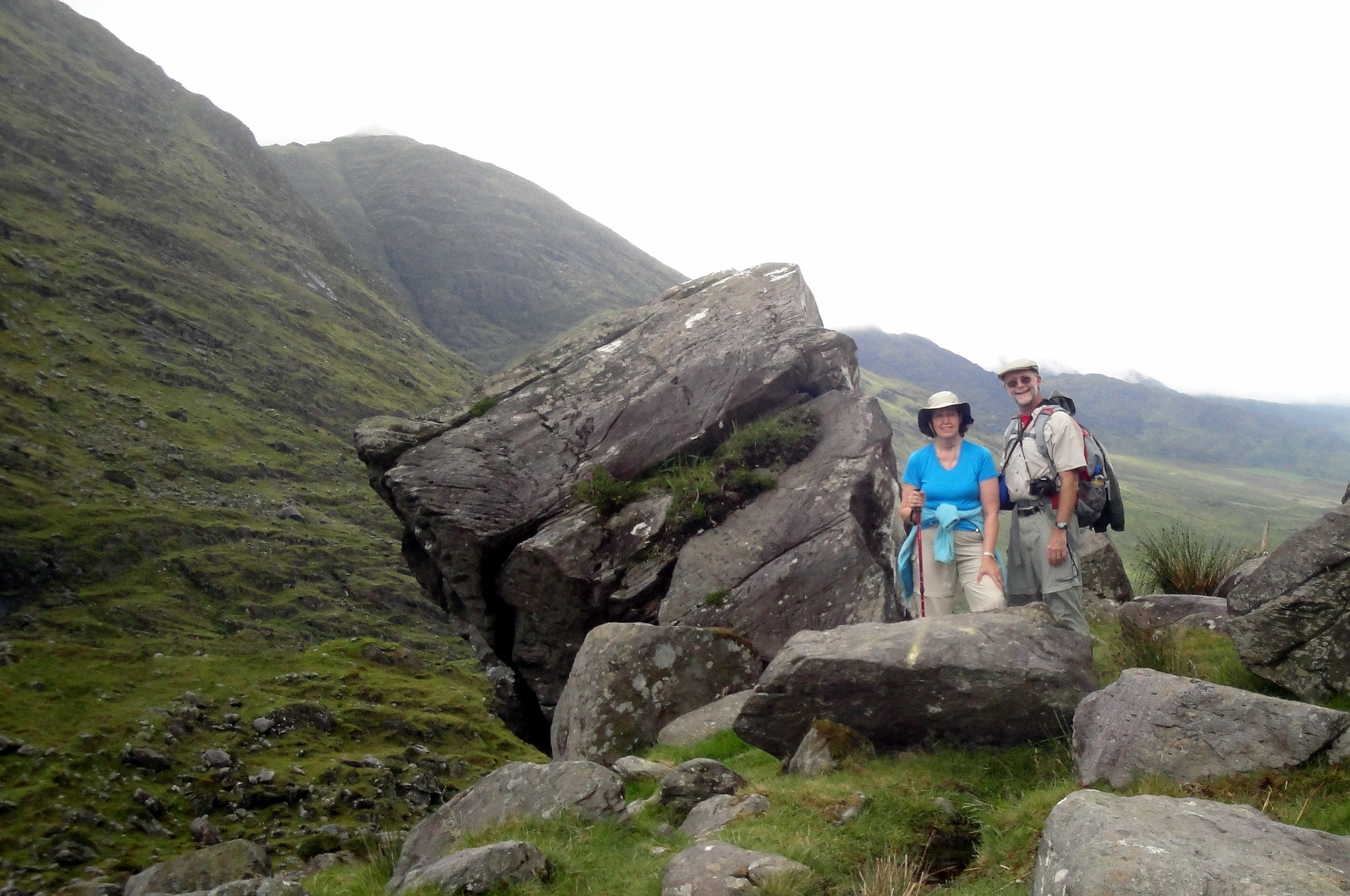
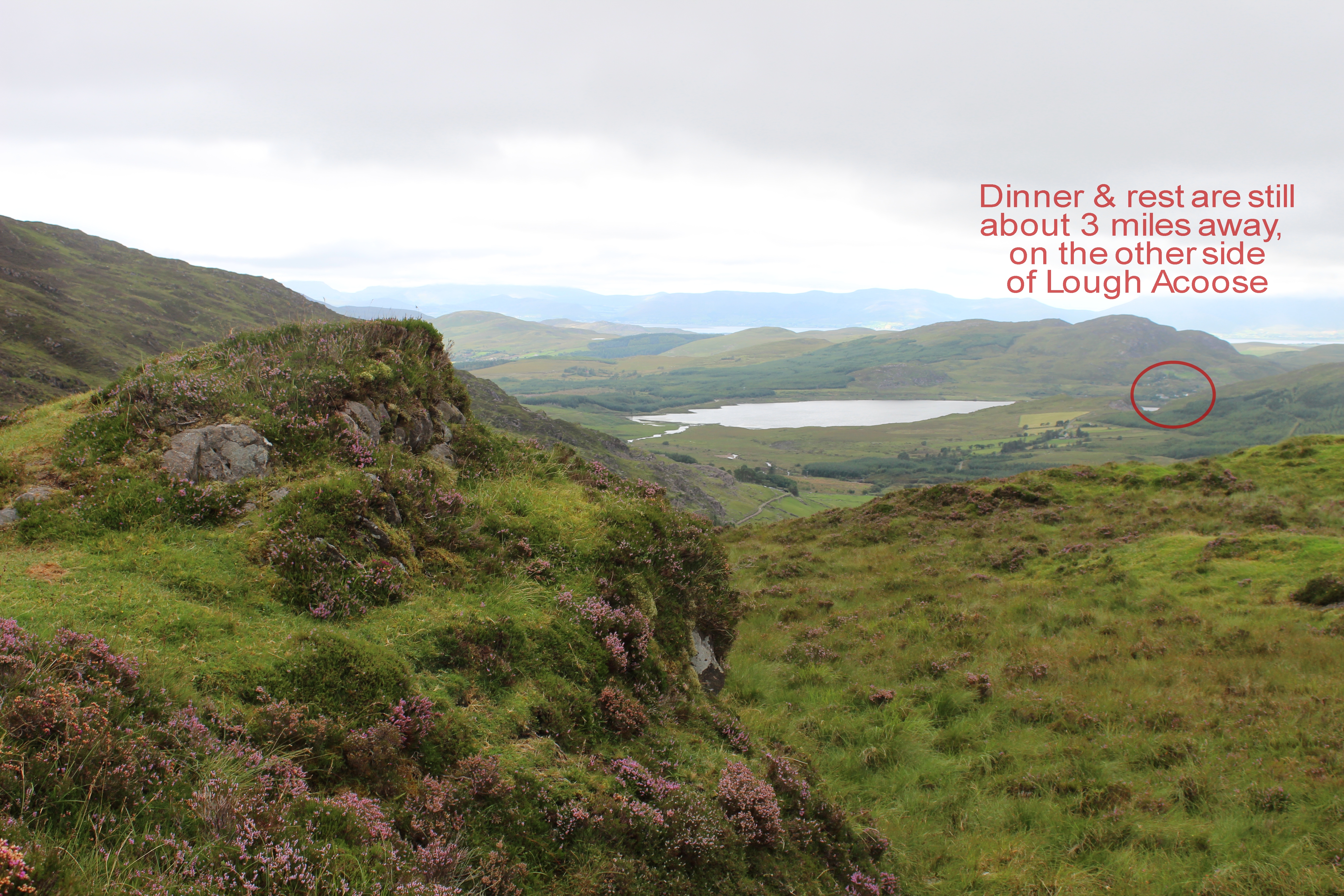
| Here we approach the end of this road (such as it
was). The farm ahead was the end of the line. Although the gap we
were targeting in the distance was only 500 feet higher than where this
photo was taken, it was a lot of work.
The top of the mountain to the left was roughly 1,500 feet higher than
the bottom of the gap. | 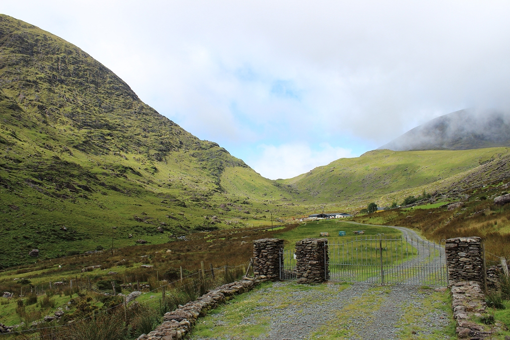 |
|  |
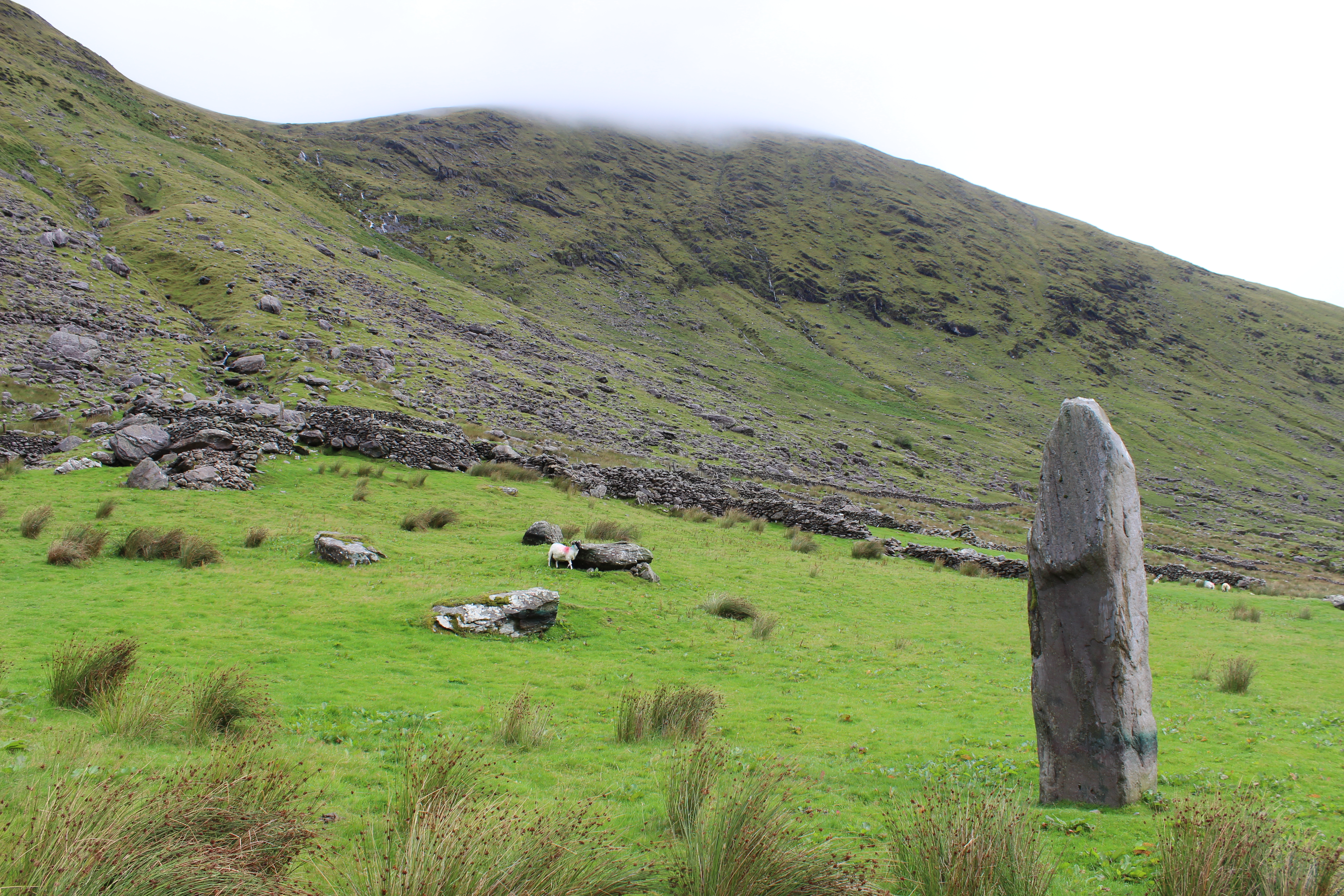
| Standing stones like this are can be found in all
sorts of unexpected places. They were stood upright hundreds or thousands
of years ago, and typically have no markings whatsoever around them.
It's still unclear what they represented to the locals of the time. | 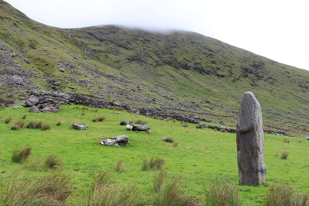 |
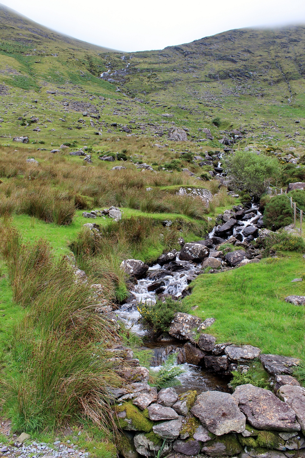
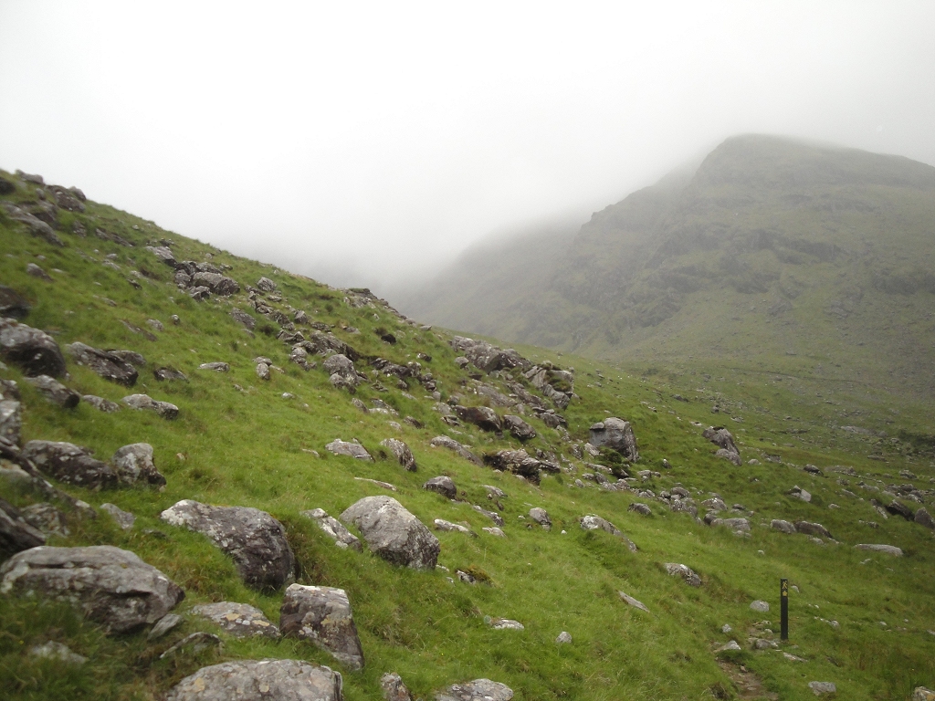
| Although this looks rocky (and it was), it was
also very marshy... or as they'd call it, boggy. If you weren't careful,
you could lose your shoe in the much between the rocks.
That gap was only about 1/4 mile away, but it would take us 30-45 minutes
to get to it. |  |
|  |
| Fortunately, there were trail markers to guide us
over the top, away from the marshy spots | 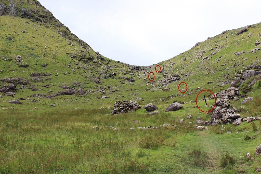 |
| Look back at where we came from. Quite a
distance. |  |
|  |
| And then down the other side. | 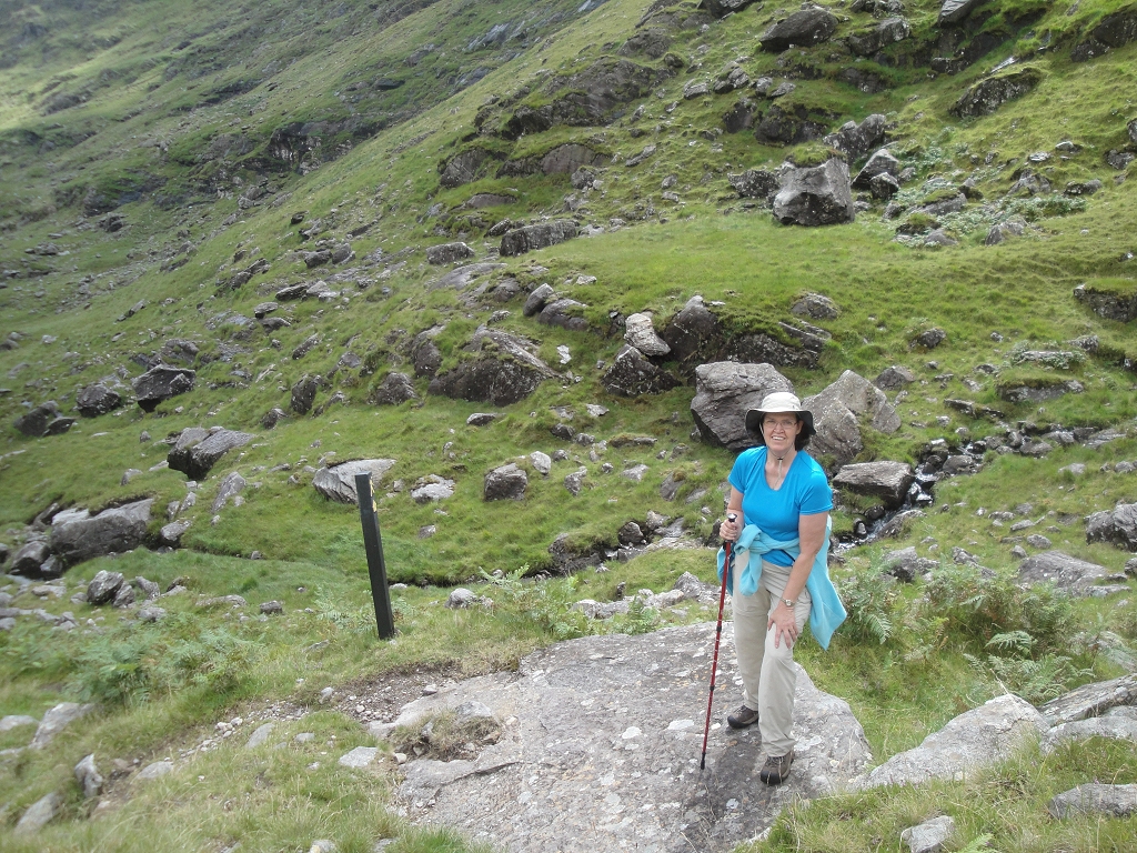 |
|  |
| Right near the top, we found a small stone
circle. The larger of the stones was probably 7-8 feet tall. You'd almost
guess these to be grave markers, but there's almost no chance you'd be able
to dig very far in this kind of terrain. | 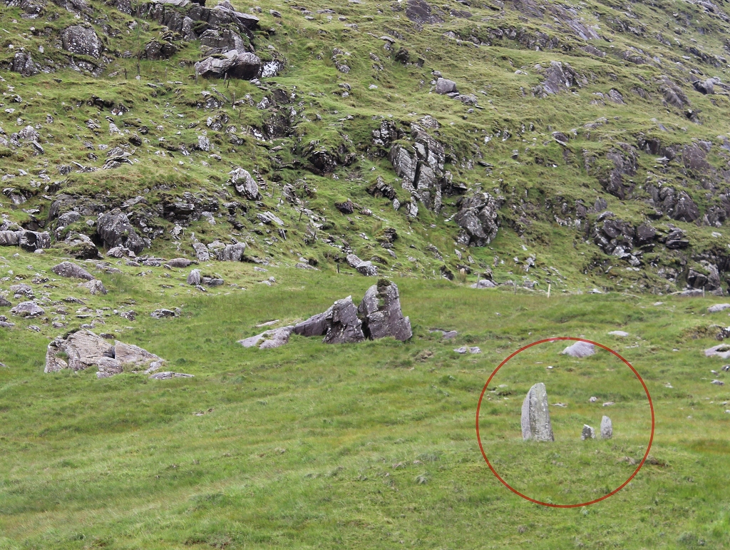 |
|  |
|  |
| It's not even close to lunch time, yet. | 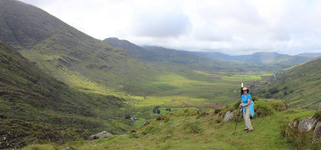 |
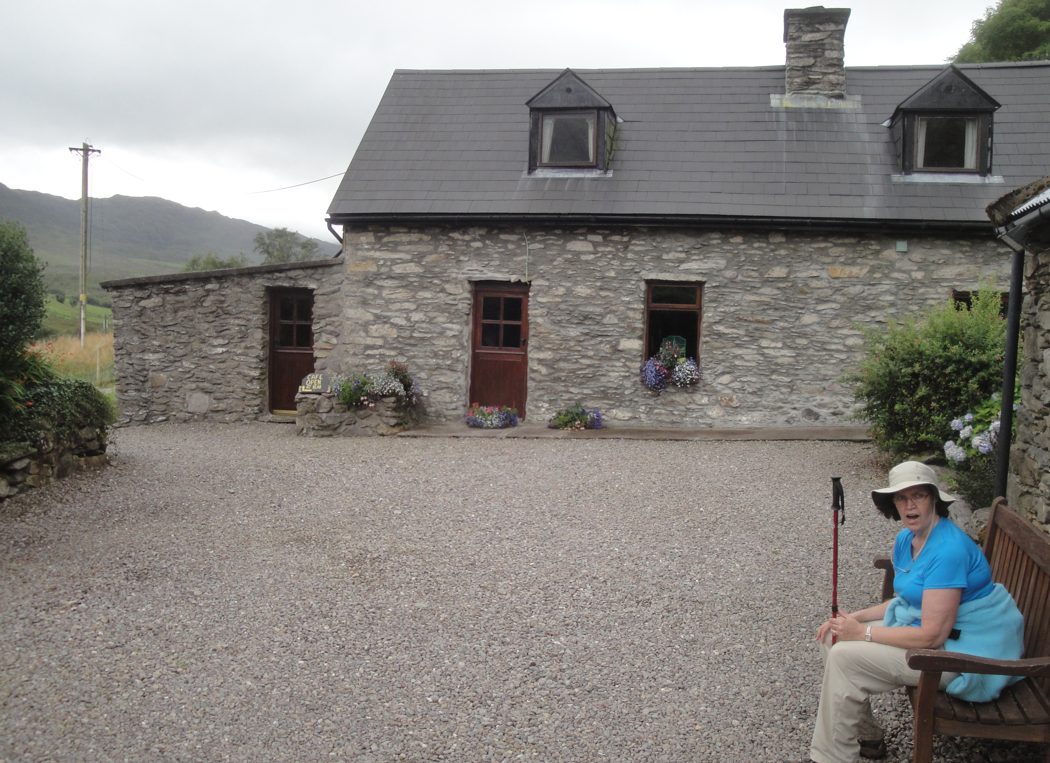
| NOW it's time for lunch. The non-obvious Cookie
Monster Cafe.
|  |
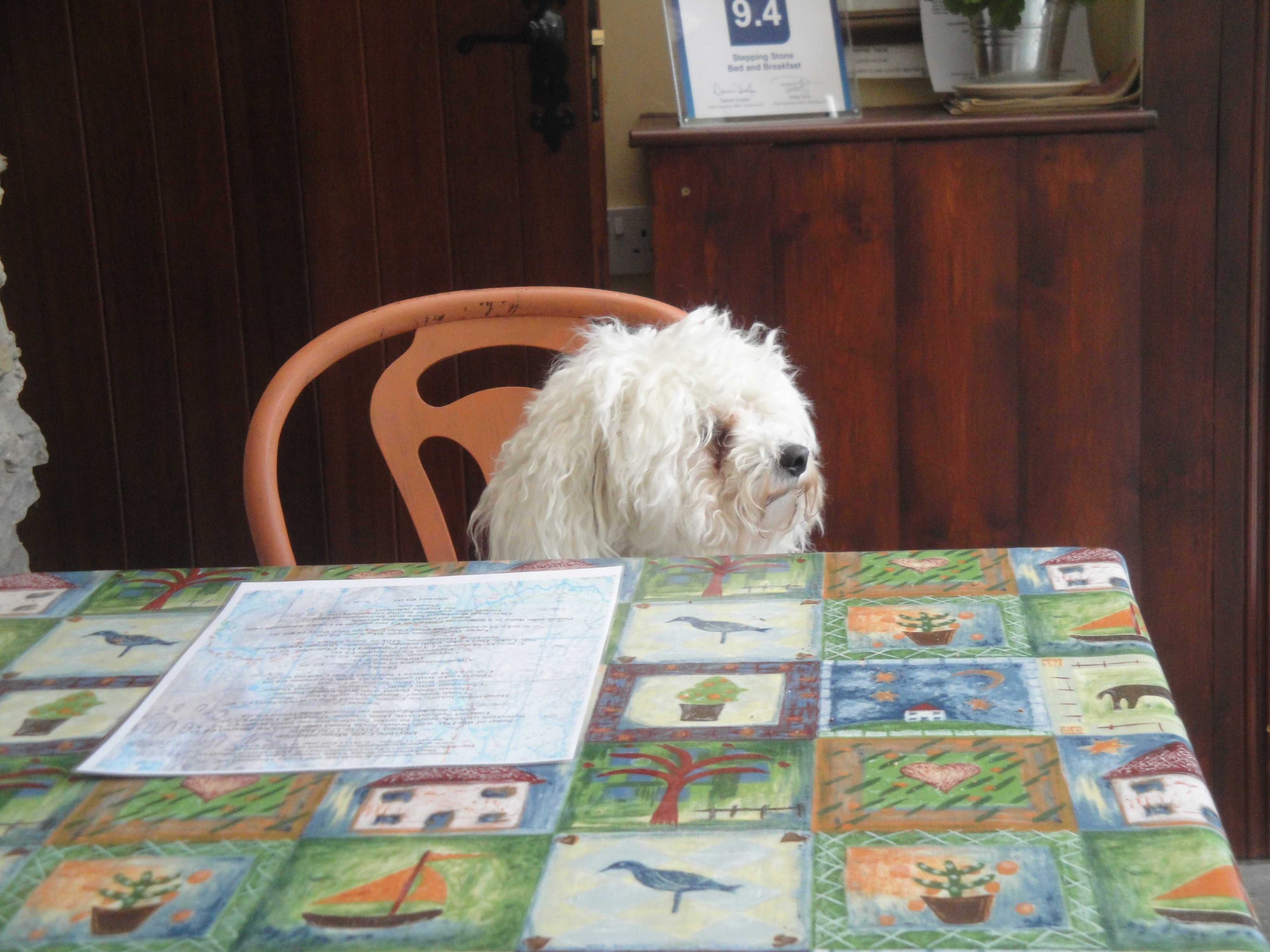
| We were the only ones there for lunch, and the
host was a delight to talk to. (no... not the dog)
To finish up after the meal, John had "Kerry Rose" ice cream... made by
the owner. It tasted just like it's name, and was made from real roses
he'd gathered.
Wonderful.
As odd as it sounds, it tasted like a rose smells, and was delightful. | 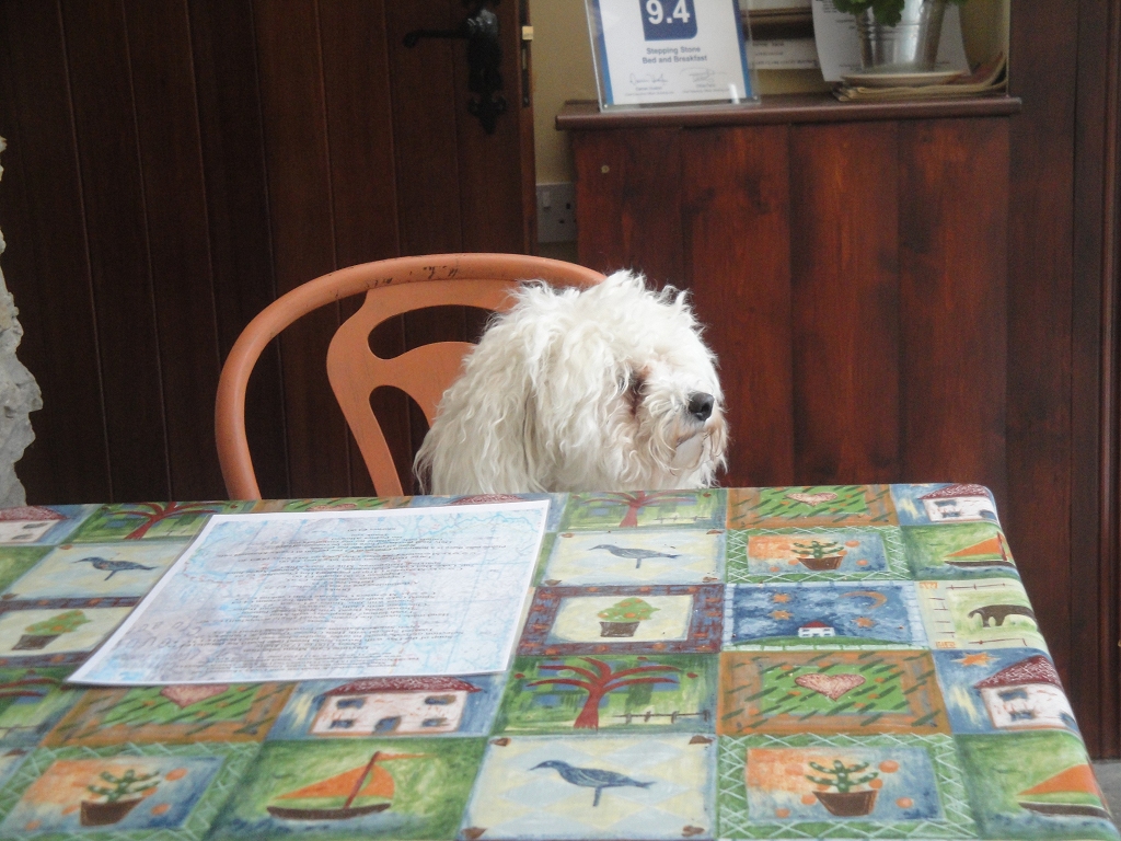 |
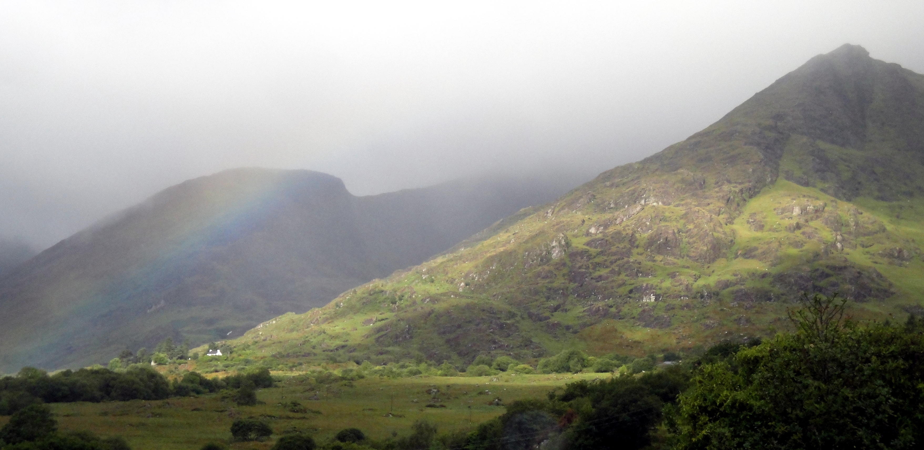
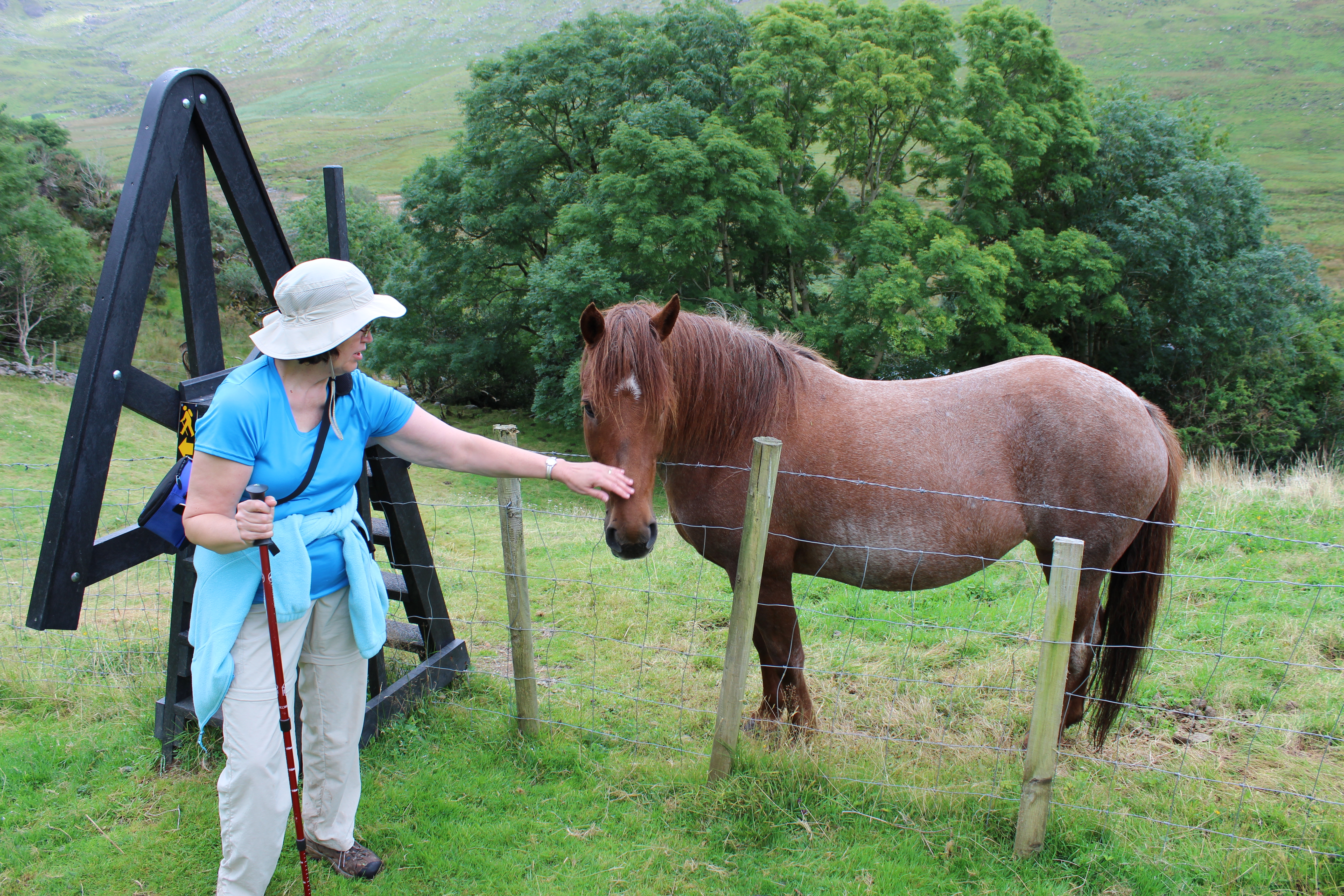
| After a 30-40 minute break, we began what turned
out to be one of the rougher sections of the entire hike. The horse was
owned by the guy who ran the Cookie Monster Cafe. | 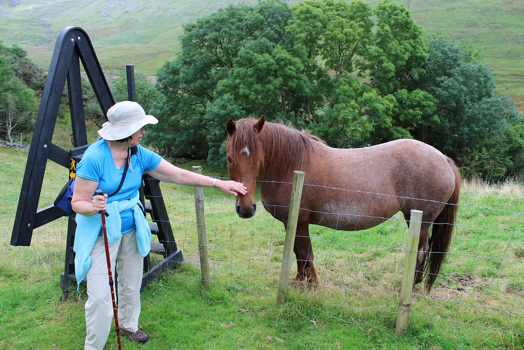 |
| See the path? Neither did we.
All you could find was some lightly trampled ground, hinting where the
real path might be. Fortunately, there were enough of the path markers
that we didn't get too off-track.
The goal was to switchback our way up and over the mountain on the right. |  |
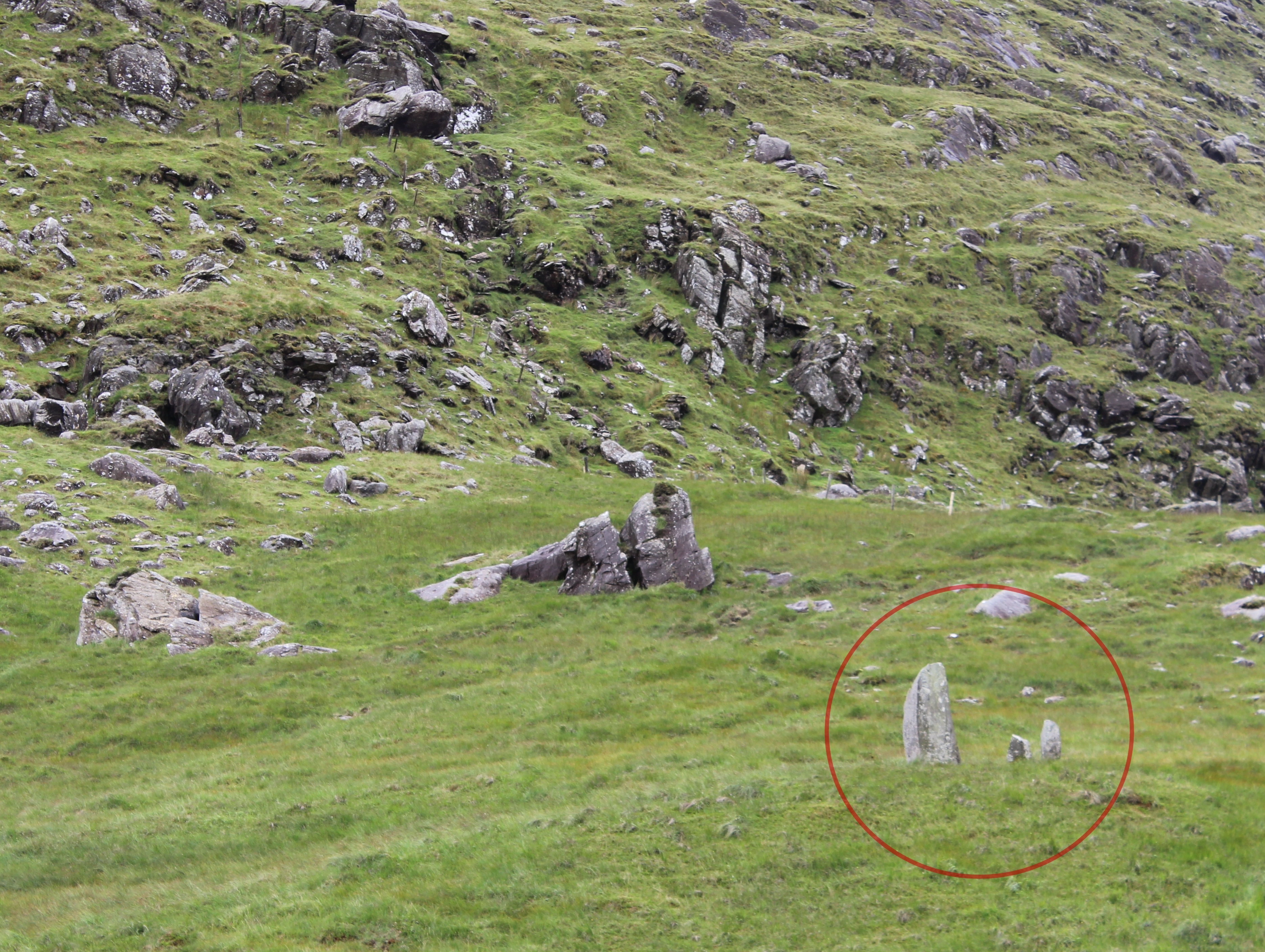
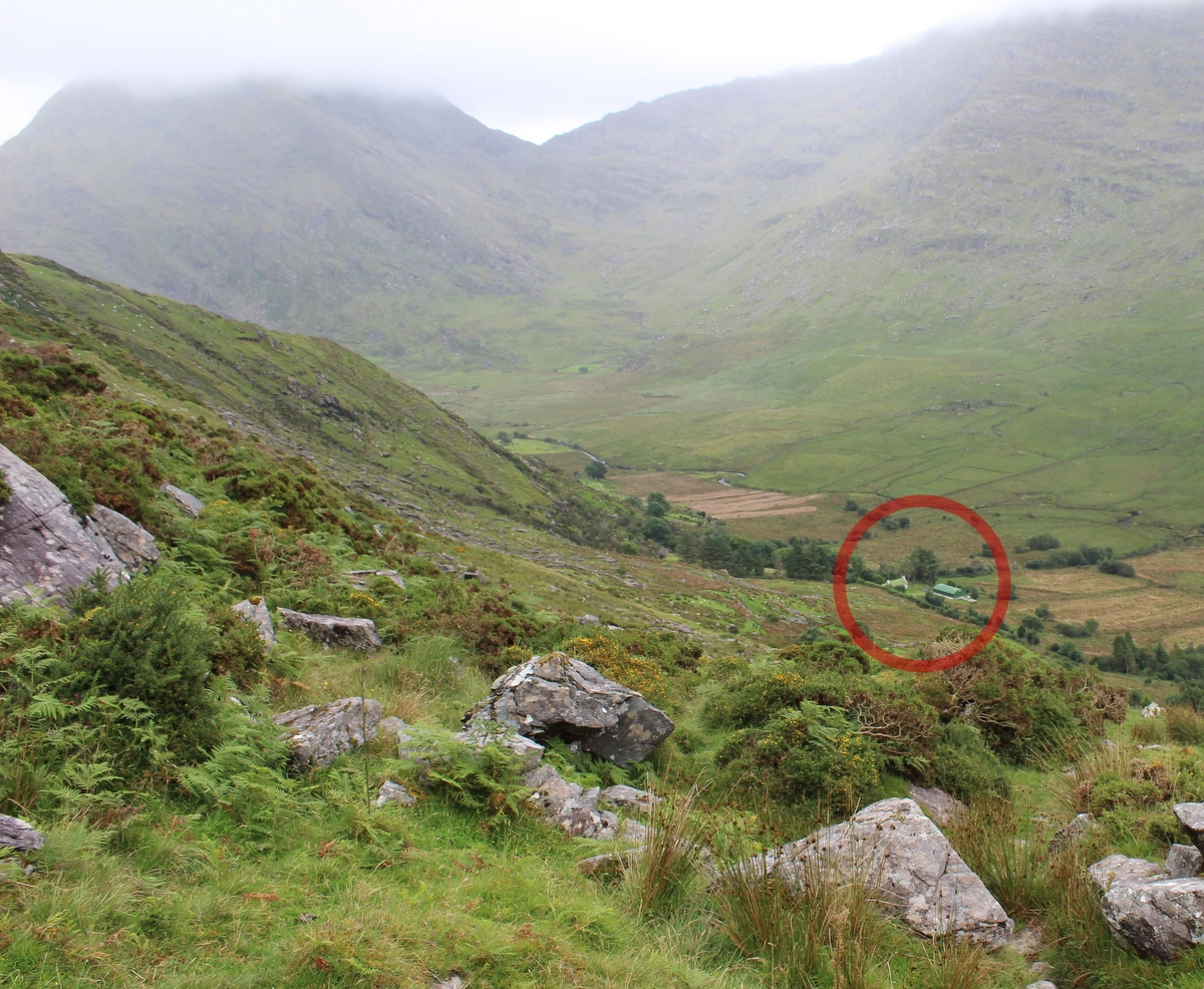
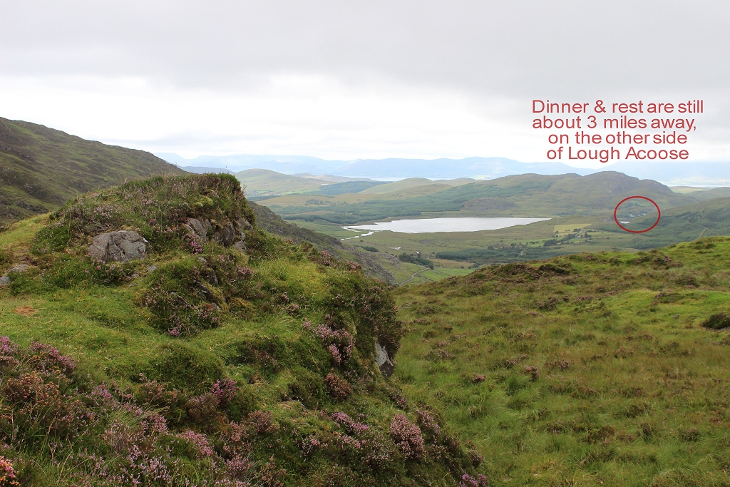
| The circle shows the Cookie Monster. |  |
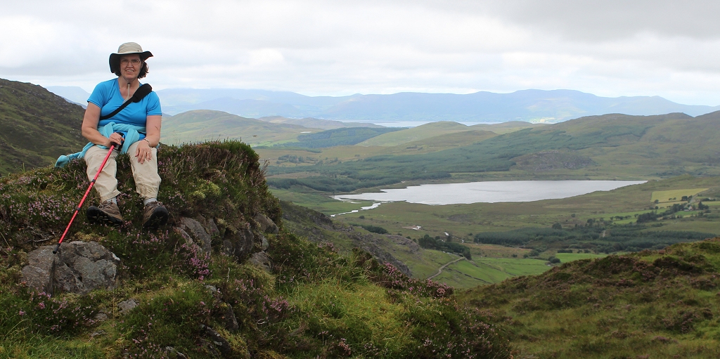
| Still going up. |  |
| And FINALLY making it over the crest. | 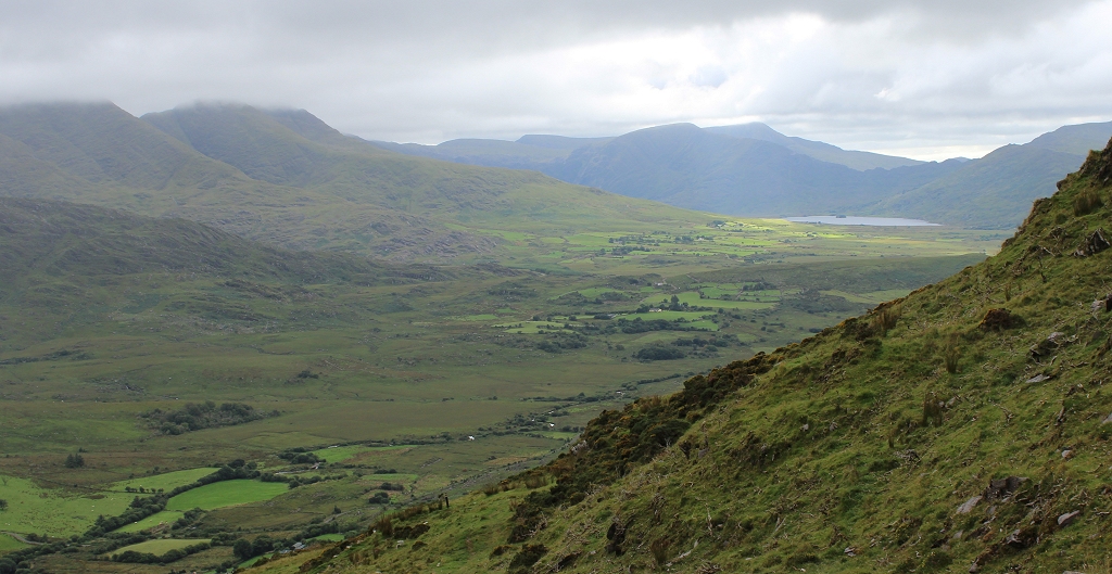 |
|  |
|  |
| Within moments of crossing the ridge to go down
the other side, we had to put our jackets back on. It was windy and
cold, and we were covered in sweat from the climb up. Y' just gotta love
the expression on Tracy's face here. :-) | 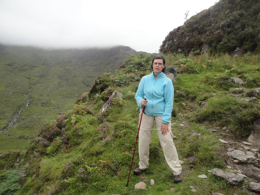 |
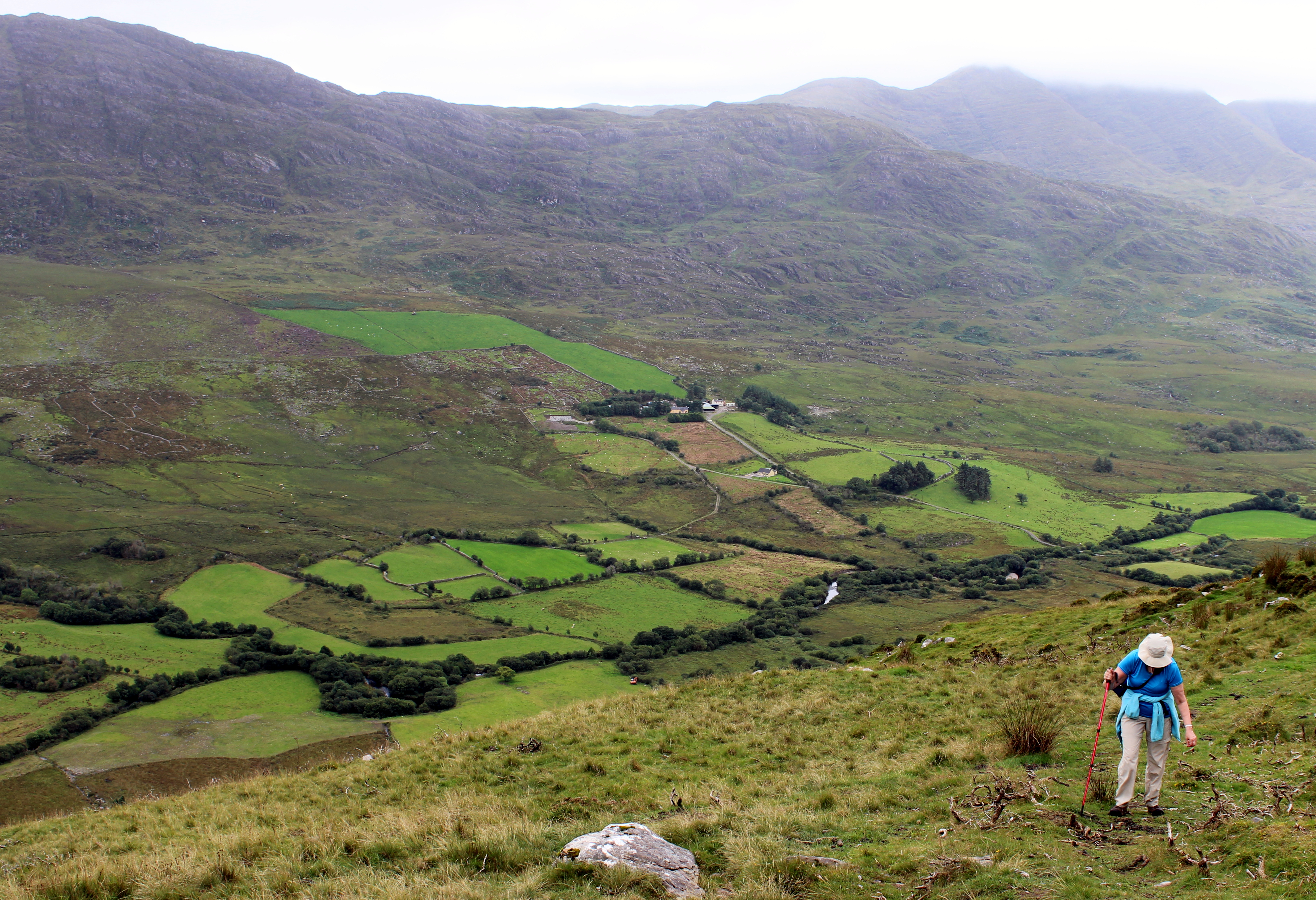
| Finally near the bottom of the hill, but still a
long way to go. We were pretty pooped by this point. | 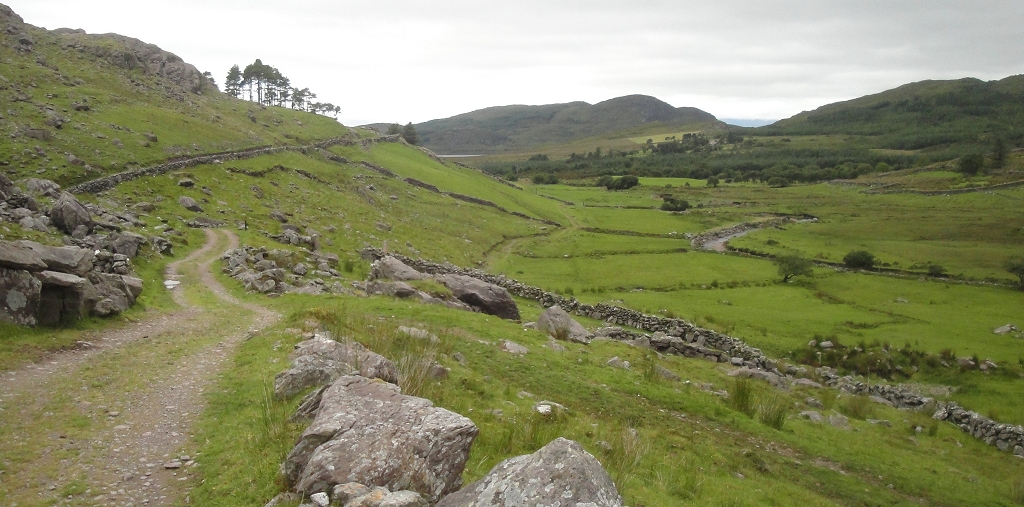 |
| More long stone walls and buildings. At one
point in history, this was somebody's farmhouse.
|  |
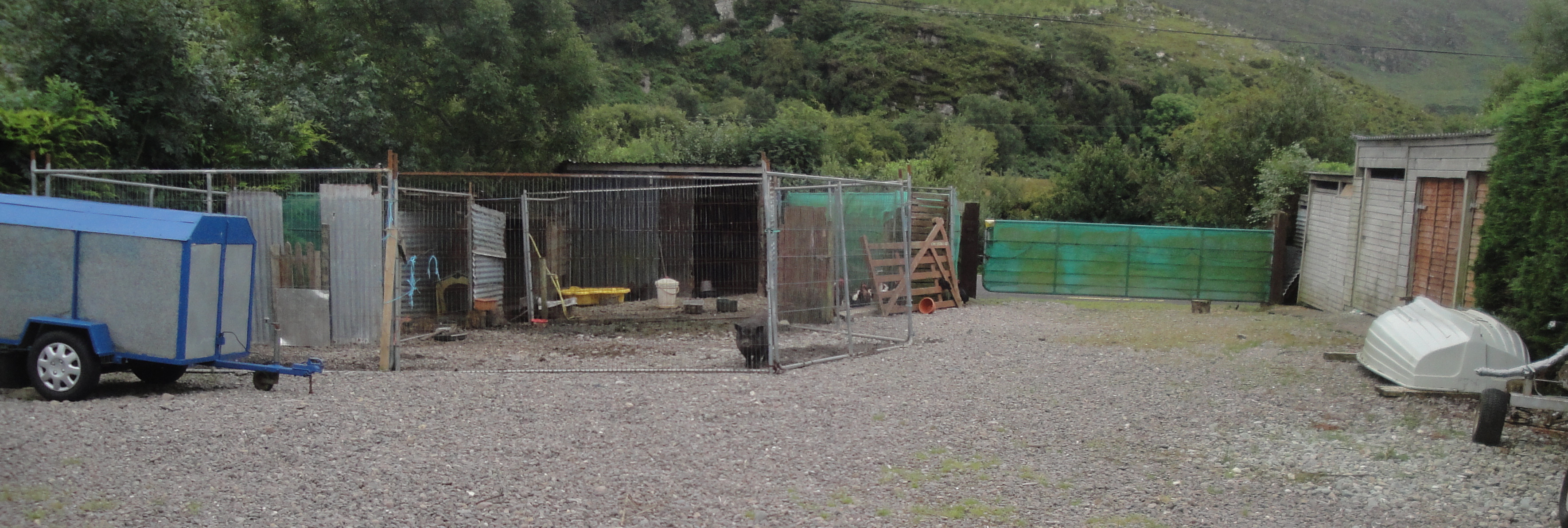
| Here's the "back yard" of where we'd spend the
night. Notice the little piggy |  |
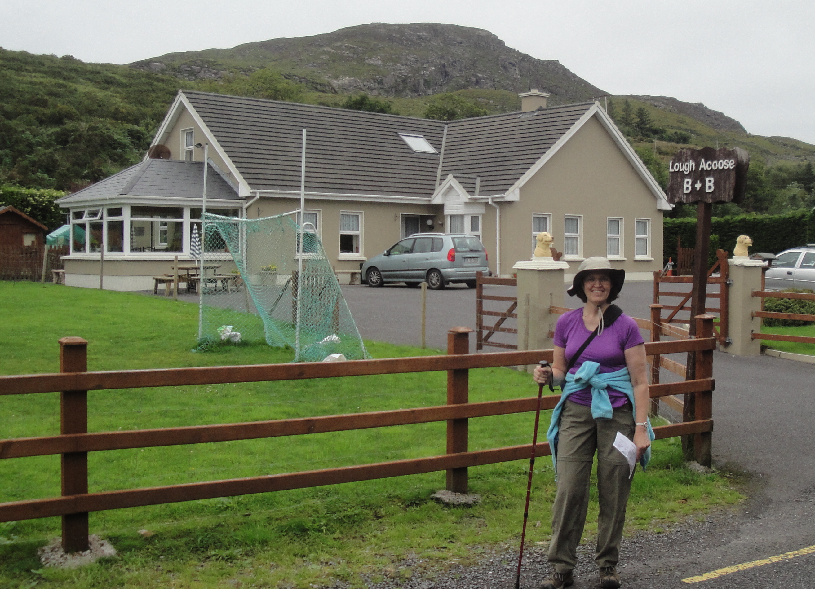
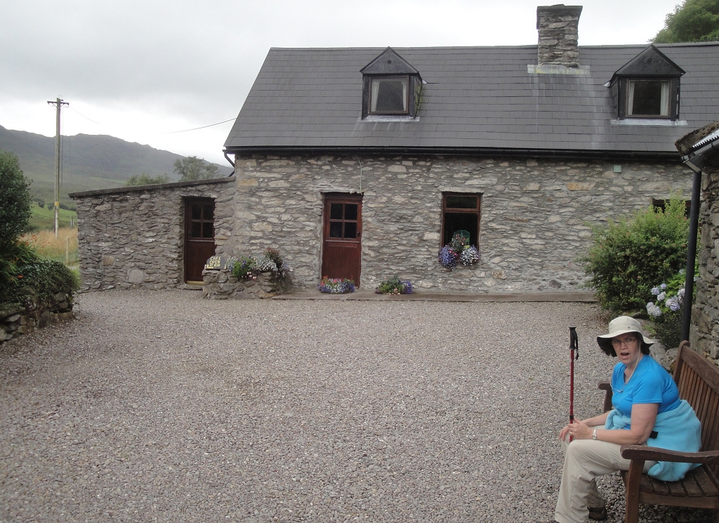
| Finally! Arrived here about 6pm... our latest
day of hiking. |  |