| Day four of hiking began with us going back into town to buy
sandwiches at the local supermarket to enjoy later that day. | 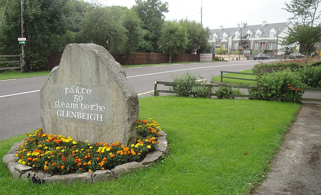 |
| This path lead up out of town, around a local hill. | 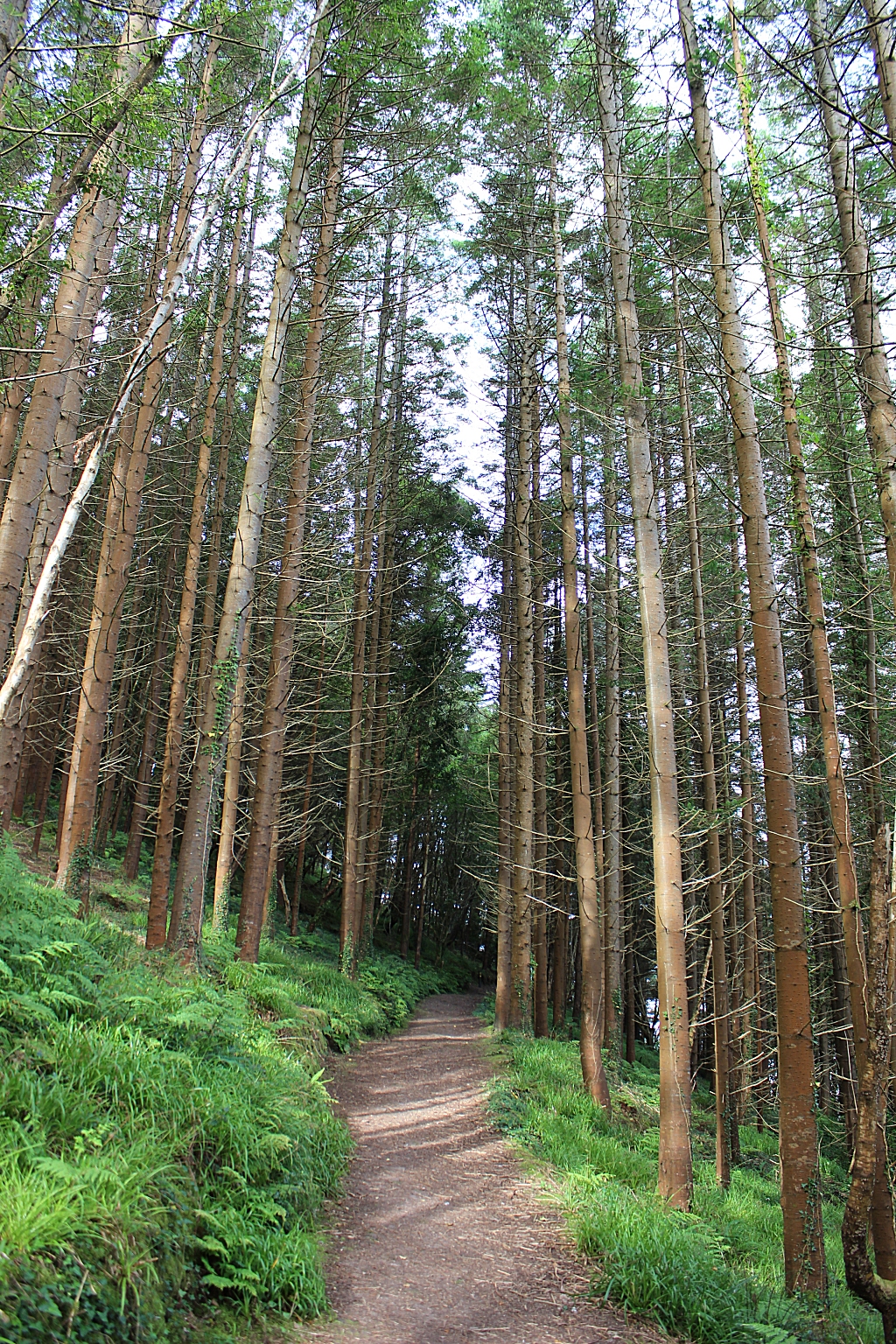 |
| The town of Glenbeigh | 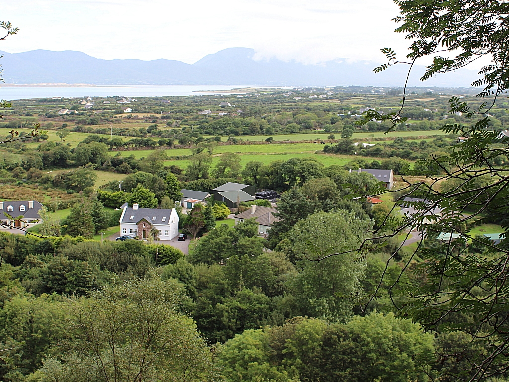 |
| Old, gnarly things. :-) | 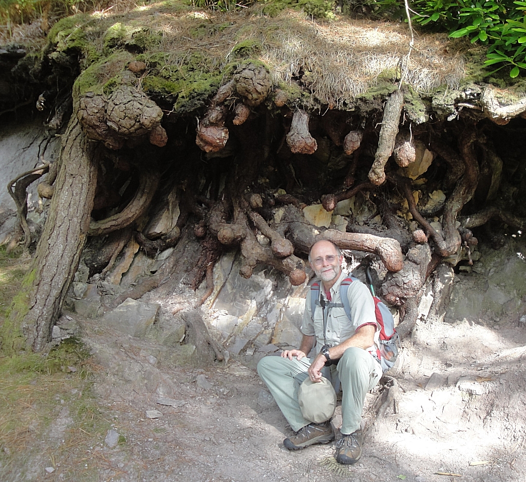 |
| A promising day, with plenty of sunshine. | 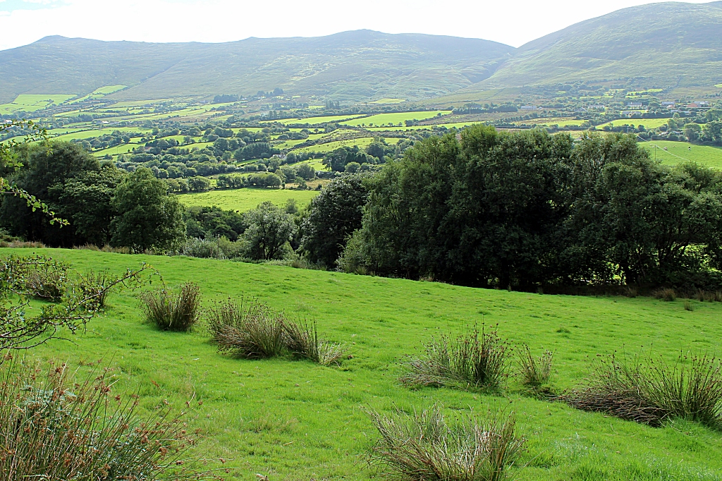 |
| 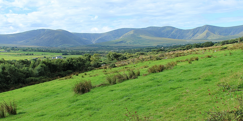 |
| Our only injury for the entire trip was a small blister on
Tracy's foot. Nothing a little handiwork with mole skin can't fix up. | 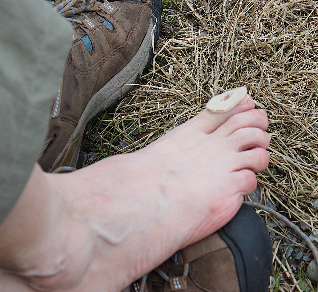 |
| That's Drung Hill. From this spot to the ridge where we
ate lunch, we went through 9 farmer's gates. | 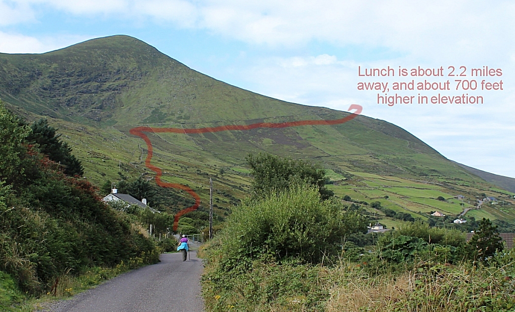 |
|  |
| The path here was pretty obvious, but it was also rocky, so
you had to watch your footing. | 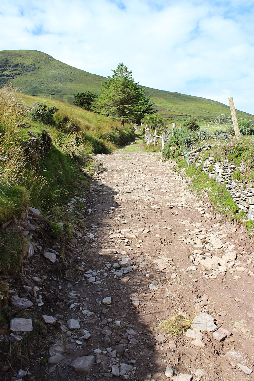 |
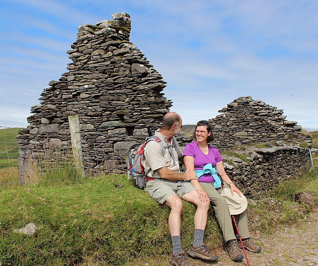
| More ruins. | 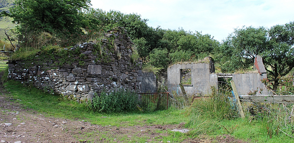 |
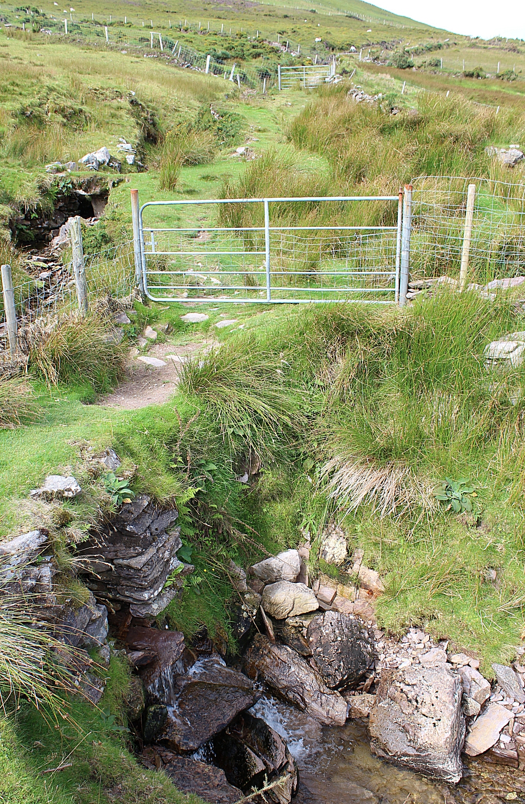
| We were extremely lucky with the weather. Imagine hiking
up through this gully if there was a steady rain... it would turn into a
stream bed. | 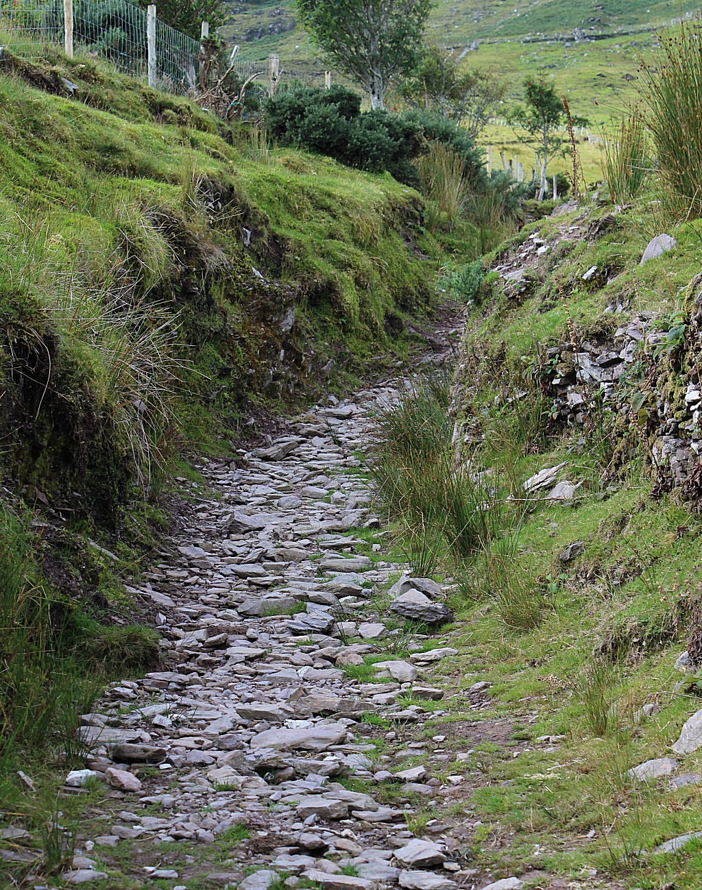 |
|  |
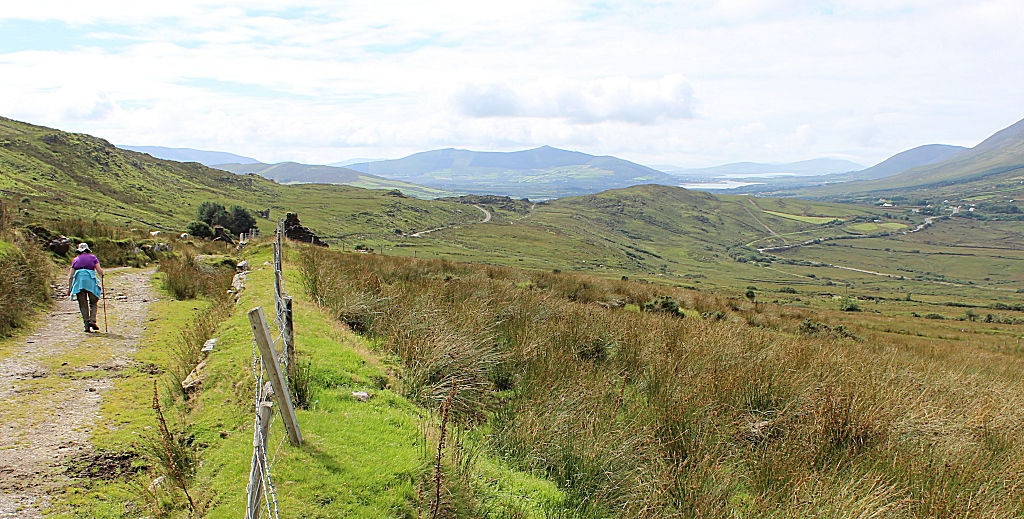
| This is looking back towards where we came from. That
2nd hill on the left is the one we encircled as we left Glengeigh earlier
that morning. | 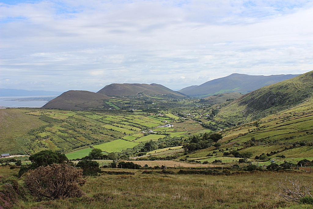 |
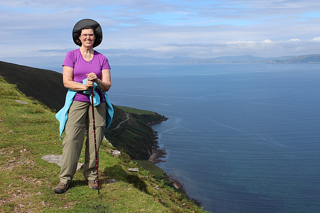
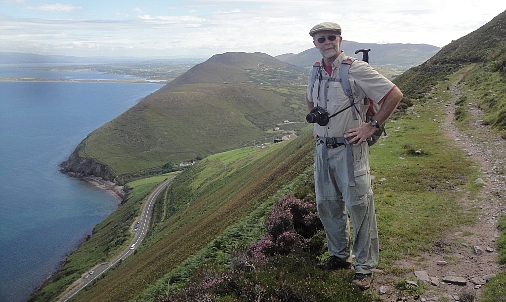
| We're about 800 feet above the water here (which is an inlet
from the Atlantic Ocean) | 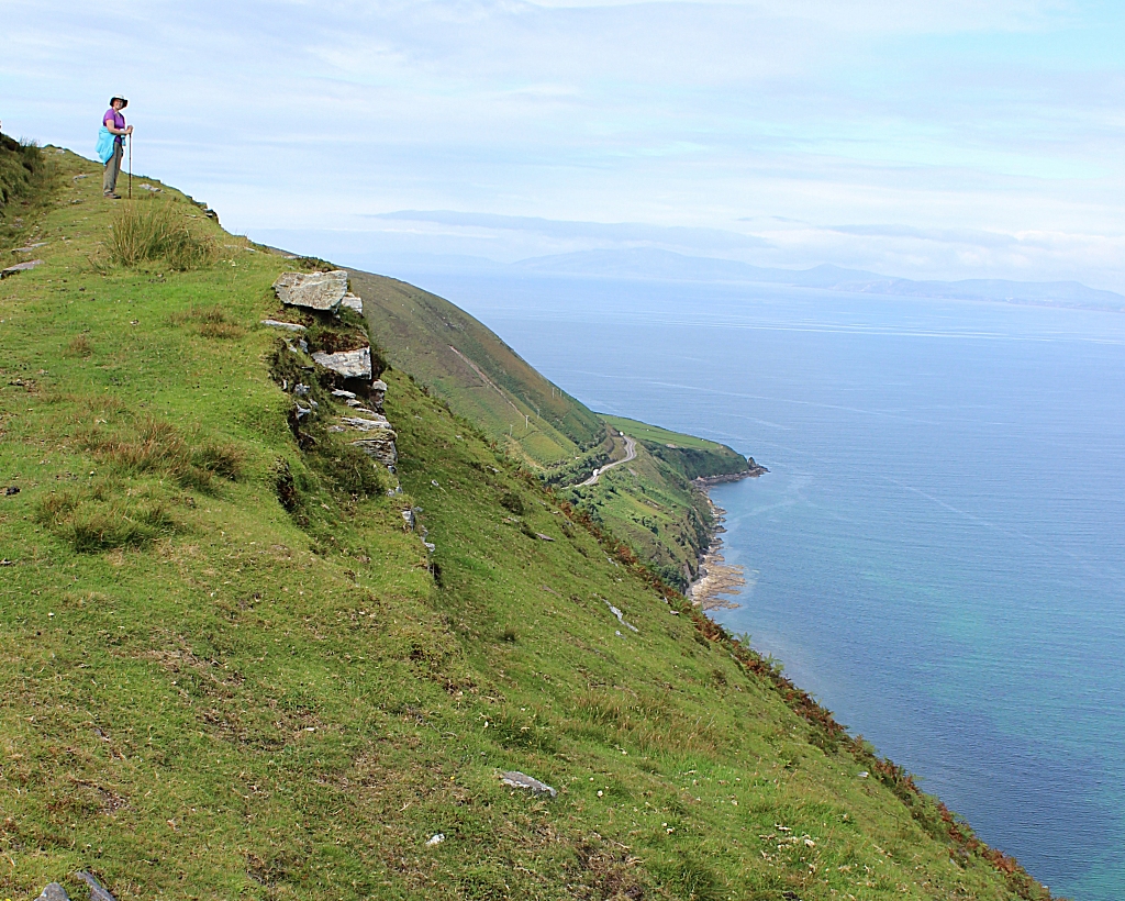 |
|  |
| Way down below us was a tourist bus stop, with some of the
people looking right back up at us. It's not obvious from this view, but
the busses are at the side of a cliff that's about 20-30 feet off the ocean. | 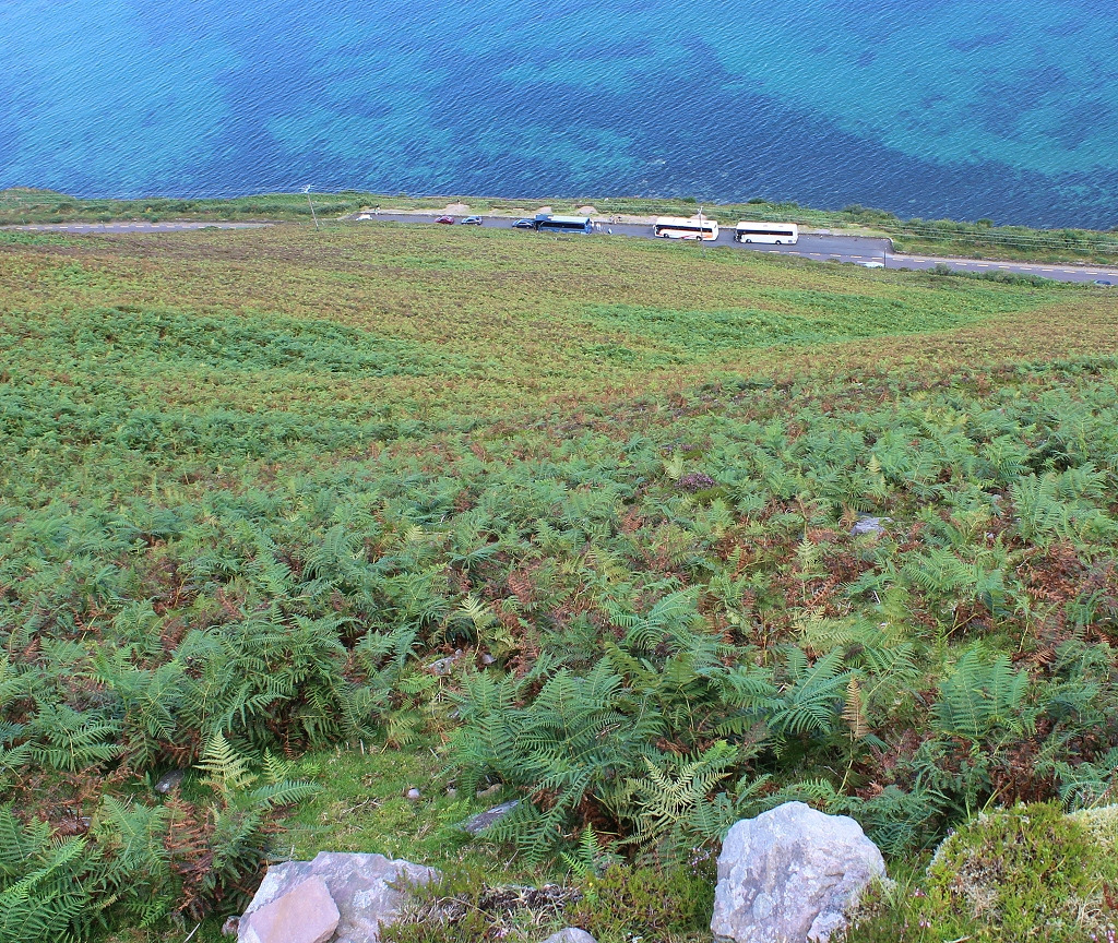 |
|  |
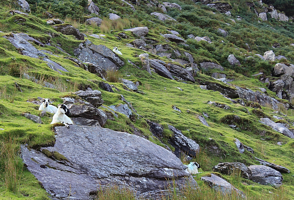
| This is where we targeted after having had a lunch sitting
on a rock in the middle of a sheep field. | 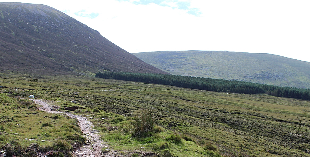 |
| This is the 2nd time we went through a forested area. | 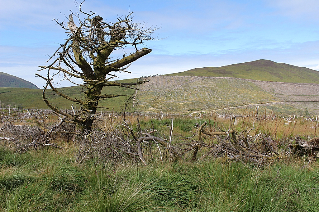 |
| We could afford this! It's a bit of a fixer upper. | 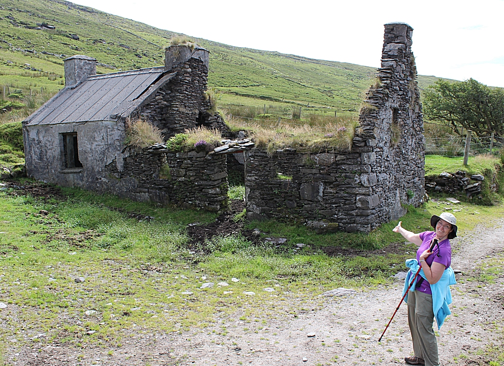 |
|  |
|  |
| This picture cracks me up. | 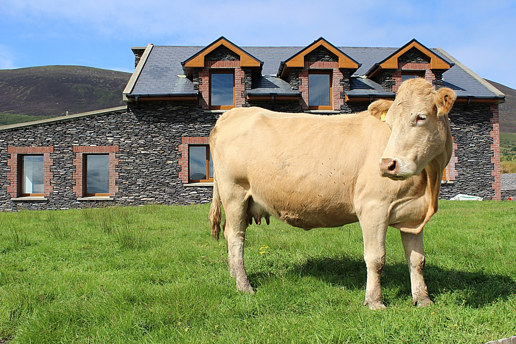 |
| This community center hosts a Gaelic Football field, and is
where we made the call to our next B&B. The host there drove out to
bring us in. Nice day. | 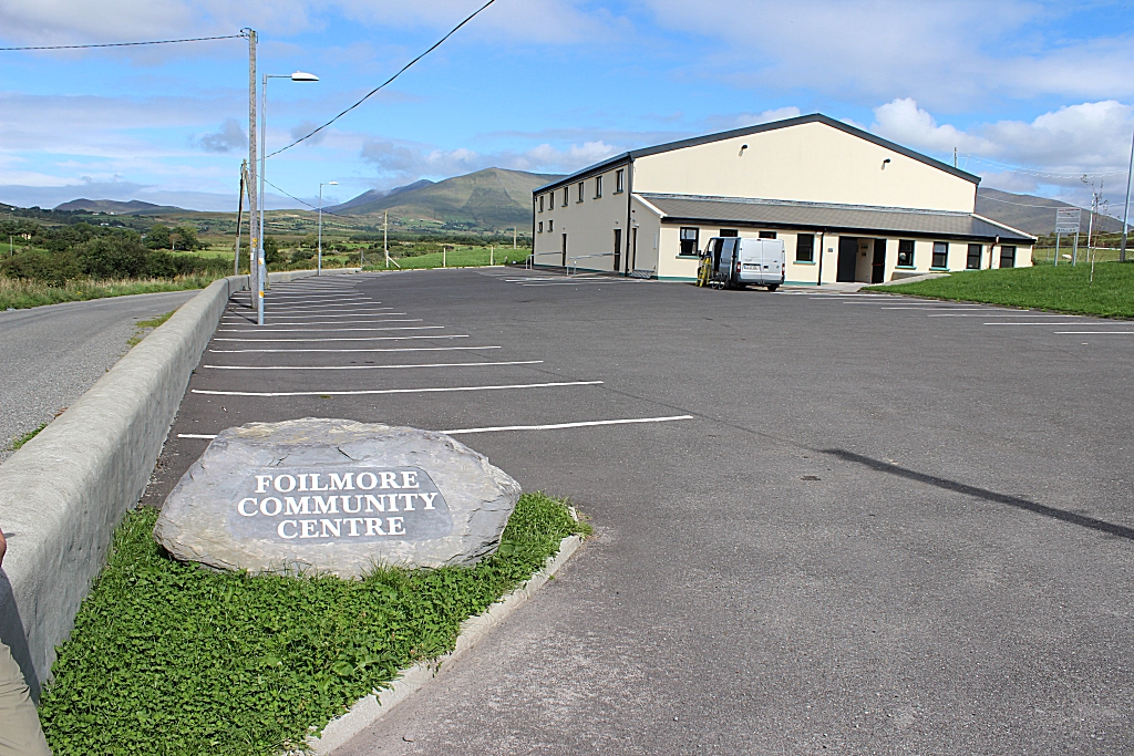 |
| Our B&B for the night, in the town of Cahersiveen The Cul
Draiochta, which is Gaelic for "magic place". | 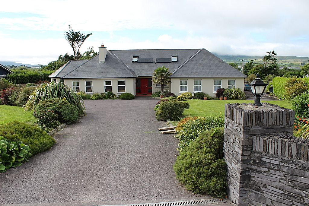 |
